


Overnight, we will drop into the mid-30s, but as the wind begins to pick up around sunrise, temperatures will start climbing. A couple of spotty showers are possible Thursday morning, but most of us will get to work and school dry.

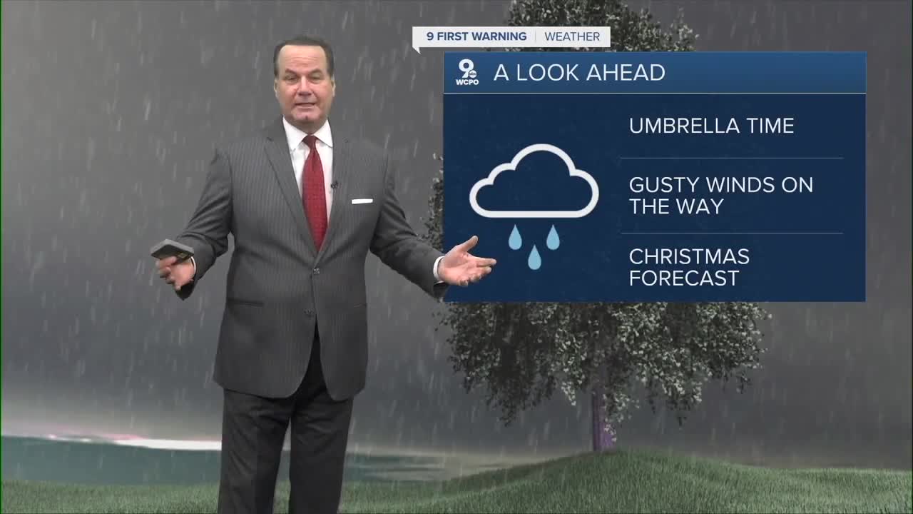
As a cold front approaches from the west, rain becomes increasingly likely to occur starting in the early afternoon. Even as the rain continues at times through the afternoon, we will still warm into the low and mid-50s as the stronger wind blows in warmer weather from the south. When the cold front arrives Thursday evening, a few rumbles of thunder will be possible. South of Greater Cincinnati, a stronger storm or two will be possible with the threat of strong winds.

Behind the cold front, strong winds will blow in colder weather from the northwest. The bulk of the rain ends Thursday night, but a few pockets of snow are possible overnight before we dry out for the Friday morning commute.
It will stay windy at times on Friday as colder air keeps moving in. This will hold us back in the low 30s for the afternoon with a mix of sun and clouds.
Looking ahead to the weekend, temperatures will warm back closer to average. Saturday will be a little windy early on with highs in the upper 40s. Sunday will be a touch cooler with low 40s, but the wind should be lighter.

Monday will be near average with mid-40s and some sunshine.
Another round of rain moves in Tuesday morning, with the afternoon still making it into the mid-40s.
A few pockets of light rain could stay with us for Christmas Eve and Christmas Day on Wednesday and Thursday, but we get a little warmer. Wednesday will be in the upper 40s, followed by the low 50s for Christmas.
OVERNIGHT
Becoming mostly cloudy
Chilly
Low: 33
THURSDAY
Cloudy
Wet and windy
High: 53
FRIDAY
Partly cloudy
Windy
High: 31
9 First Warning Weather 24/7 Livestream
==========
- Interactive Radar: Track weather to your doorstep
- Sign up for severe weather email alerts
- Check latest school closings and delays
- WCPO traffic updates
- Metro bus detours and updates (or call the hotline at 513-632-7538)
- Latest power outages from Duke Energy
- Flight cancellations and delays from CVG, other U.S. airports
