


The overnight stays quiet and dry, with temperatures slowly slipping into the upper 30s by morning.
Clouds remain dominant for Thursday, and milder air works its way into the Ohio Valley. As the day wears on, moisture increases, and by the afternoon, we see a chance for showers before wet weather becomes likely at night.

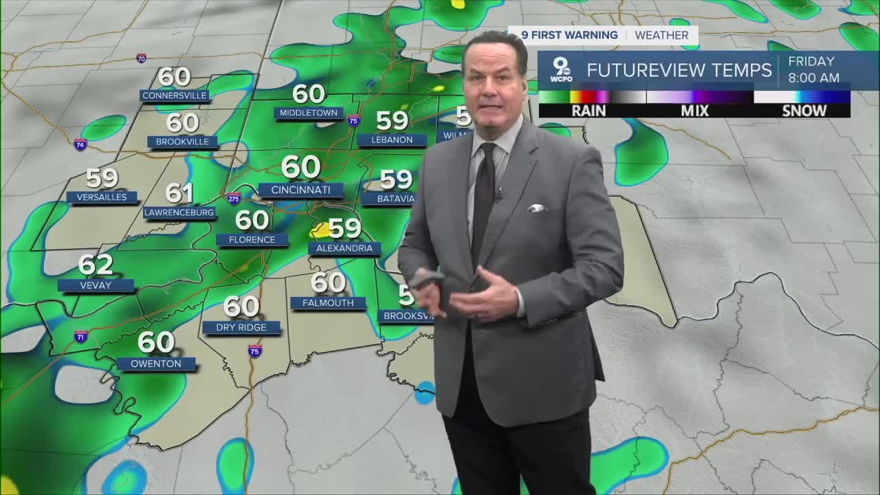
Scattered showers are likely for much of the day on Friday until the afternoon when we get a break. Despite the wet conditions, it will be unusually warm with highs pushing into the mid to upper 60s. The rain becomes heavy on Friday night, keeping the ground soaked.
Saturday stays unsettled, with rain likely again as the system slowly exits. Temperatures cool slightly but remain above normal, reaching the mid to upper 50s. Late Saturday night, a cold front finally sweeps through, clearing some of the moisture but ushering in much colder air. With that, we will likely see a few snow showers that could produce a dusting or a bit more on the ground. But the recent warm air will keep the snow mainly on grassy areas. Temperatures tumble into the upper 20s by daybreak.
Sunday feels like a different chapter altogether. Colder air dominates, with highs struggling into the lower 30s under partly to mostly cloudy skies. There is a chance for lingering snow showers, especially earlier in the day. By Sunday night, the cold settles in firmly, restoring a more traditional winter feel.

OVERNIGHT
Increasing clouds
Dry
Low: 39
THURSDAY
Turning overcast
Light rain begins after 2 p.m.
High: 59
THURSDAY NIGHT
Scattered showers
Overcast, warm
Low: 56
9 First Warning Weather 24/7 Livestream
==========
- Interactive Radar: Track weather to your doorstep
- Sign up for severe weather email alerts
- Check latest school closings and delays
- WCPO traffic updates
- Metro bus detours and updates (or call the hotline at 513-632-7538)
- Latest power outages from Duke Energy
- Flight cancellations and delays from CVG, other U.S. airports
