


We get a little cold overnight, dropping into the upper 20s and low 30s for the Monday morning commute with mostly clear skies.
Sunny skies will continue on Monday and could help take the edge off after our cold morning. Afternoon temperatures rebound to the low 50s, which will feel quite pleasant.
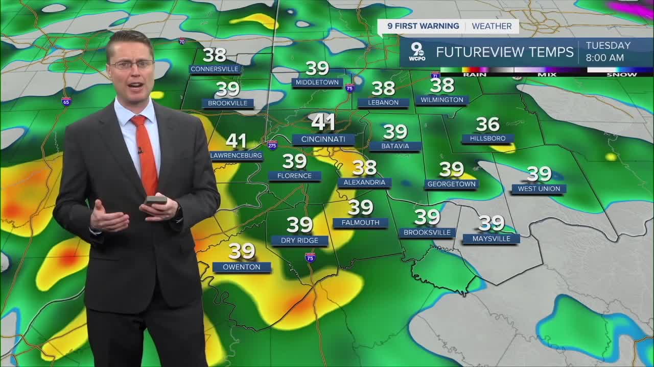
Overnight and into Tuesday morning, scattered rain will start to move into the region with most of us dealing with a wet drive into work and school. The rain will continue at times through the afternoon, keeping highs near 50.

As the storm system moves east, most of us dry out for Wednesday, but there will still be a few spotty light showers around, especially along and south of the Ohio River. It will be mostly cloudy with mid 50s.
Thursday starts dry, and we warm up into the upper 50s. In the second half of the day, scattered rain starts to move back in, but some cities may stay dry until the evening or night.
Rain will continue at times Friday, but warmer air will be blowing in from the south, pushing us into the low 60s.

The question right now is the exact path of the center of low pressure will take in the region. If it moves slowly enough, rain could continue at times through the weekend, but that's not a guarantee yet. Highs will be in the mid 50s both afternoons.
It looks dry early next week with low 50s.
SUNDAY NIGHT
Clear skies
Lighter wind
Low: 32
MONDAY
Mostly Sunny
Cool
High: 51
MONDAY NIGHT
Becoming cloudy
Spotty rain late
Low: 38
TUESDAY
Cloudy
Rain likely
High: 50
9 First Warning Weather 24/7 Livestream
==========
- Interactive Radar: Track weather to your doorstep
- Sign up for severe weather email alerts
- Check latest school closings and delays
- WCPO traffic updates
- Metro bus detours and updates (or call the hotline at 513-632-7538)
- Latest power outages from Duke Energy
- Flight cancellations and delays from CVG, other U.S. airports
