



Clouds finally moved out of the Tri-State!
The sky is clear this morning and temperatures are cooling into the upper 40s and low 50s. Winds are also lighter from the northeast at only 5 mph. This setup could actually lead to some patchy fog, especially along our river valleys.
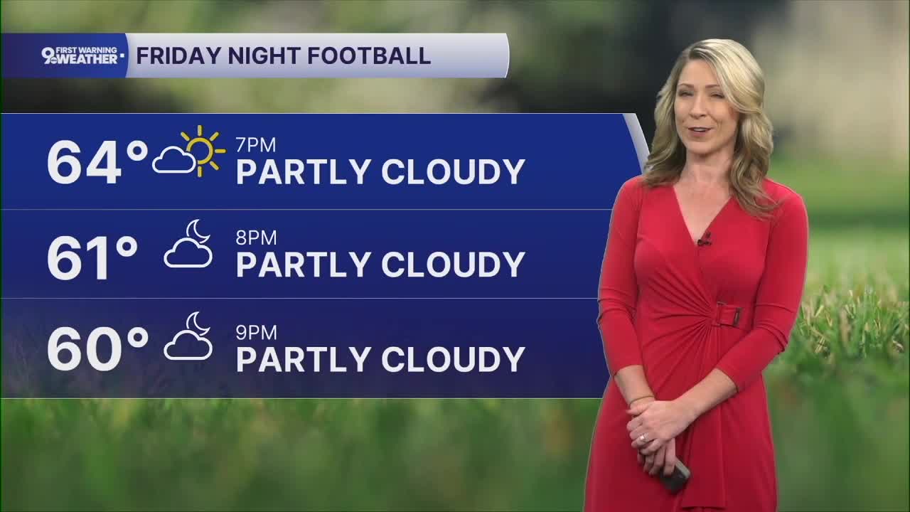
The sky will be mostly sunny today and temperatures will rise back to 68 to 70 degrees this afternoon. By the time we get to our Friday night football games, temperatures will be around 64 degrees at kickoff. We will see a few more clouds this evening but it's not a sign of rain or anything moving into our area.
We'll see a few clouds tonight as temperatures dip to the upper 40s on Saturday morning.
The weekend forecast is stunning. Highs will be in the low 70s on both days with a mostly sunny sky.
The forecast is going to be dry for a prolonged stretch. The newest models in this morning have slowed down our next cold front so we might be looking at Thursday next week for the next rain chance.
Otherwise, temperatures slowly warm next week and the warmest high is around 80 degrees on Wednesday and Thursday.
MORNING RUSH
Areas of fog
Cooler
Low: 48
FRIDAY
Mostly sunny
Pleasant
High: 70
FRIDAY NIGHT
Evening clouds
To partly cloudy
Low: 48
SATURDAY
Sunshine
Pleasant
High: 71
SATURDAY NIGHT
Clear sky
Cool and dry
Low: 49
SUNDAY
Sunshine
Dry
High: 72
9 First Warning Weather 24/7 Livestream
==========
- Interactive Radar: Track weather to your doorstep
- Sign up for severe weather email alerts
- Check latest school closings and delays
- WCPO traffic updates
- Metro bus detours and updates (or call the hotline at 513-632-7538)
- Latest power outages from Duke Energy
- Flight cancellations and delays from CVG, other U.S. airports
