


Overall, we have some fine weather as we head into the weekend. As for the ovenright, it looks quiet around here, with clear skies and lows in the low 50s.
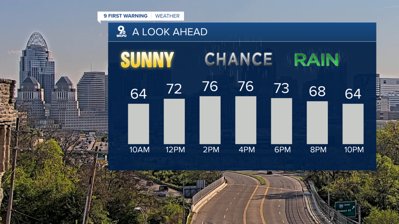
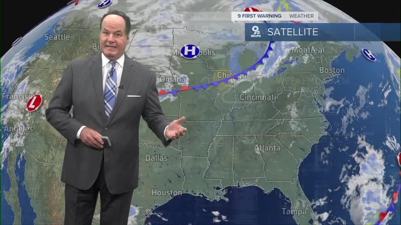
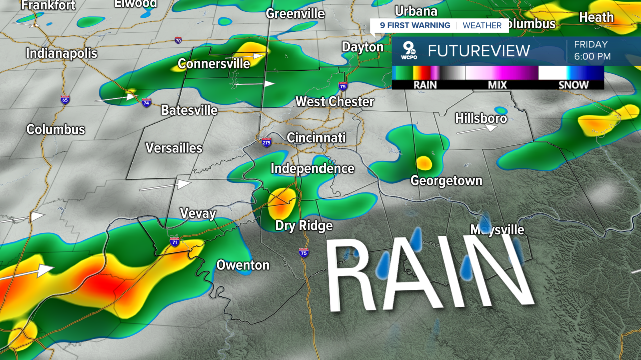
Friday stays warm, with highs in the upper 70s as clouds increase. We have rain chances hitting later in the day, with a chance of showers after 2 PM and then a better likelihood for rain and thunderstorms after 5 PM. Friday night keeps that unsettled feel around with a 40 percent chance of showers and thunderstorms, and overnight lows near 50. We are not looking for severe weather from the cold front passing through the Tri-State.
By Saturday, things calm down as high pressure builds in behind the front, and that will bring dry and cooler weather, with highs topping out in the upper 60s under mostly sunny skies. Then on Sunday, it turns much warmer again, with highs into the low 80s.
OVERNIGHT
Mostly clear
Mild Again
Low: 53
FRIDAY
Mostly sunny
Increasing clouds
Afternoon chance of rain
High: 77
TOMORROW NIGHT
Few Showers
Chance of a thunderstorm
Low: 53
9 First Warning Weather 24/7 Livestream
==========
- Interactive Radar: Track weather to your doorstep
- Sign up for severe weather email alerts
- Check latest school closings and delays
- WCPO traffic updates
- Metro bus detours and updates (or call the hotline at 513-632-7538)
- Latest power outages from Duke Energy
- Flight cancellations and delays from CVG, other U.S. airports
