


It is another typical summer week in the Tri-State. It will be a combination of hot temperatures, high humidity, and rain chances the next few days. Highs will reach around 90 in the afternoons with a heat index in the mid/upper 90s.
Should be dry walking out the door tomorrow morning but chances for rain slowly ramp up into the afternoon, but not expecting anything widespread.
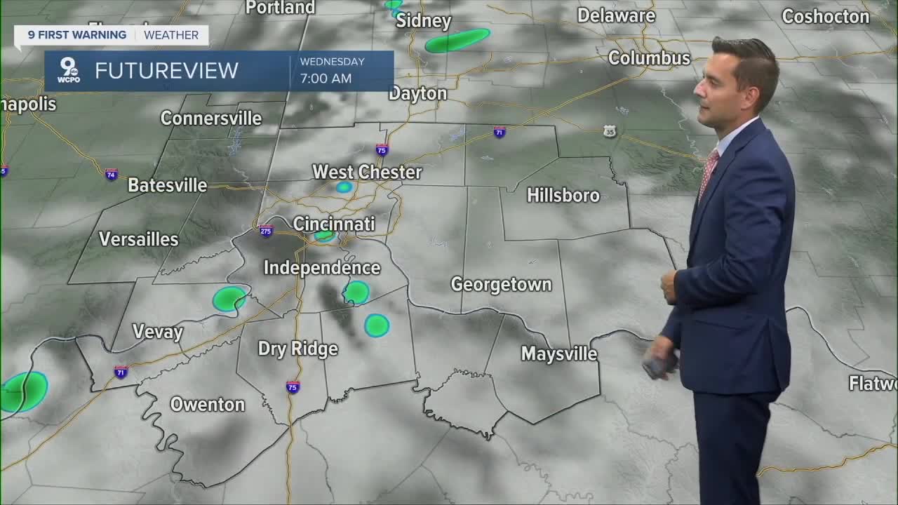
Wednesday could be the wettest day of the week with scattered showers and storms. Drier weather returns for the weekend with highs near 90, so the heat is here to stay.
TONIGHT
Few clouds
Muggy
Low: 73
TUESDAY
Mostly sunny
Isolated afternoon storms
High: 90
TUESDAY NIGHT
Isolated storms
Warm and muggy
Low: 72
9 First Warning Weather 24/7 Livestream
==========
- Interactive Radar: Track weather to your doorstep
- Sign up for severe weather email alerts
- Check latest school closings and delays
- WCPO traffic updates
- Metro bus detours and updates (or call the hotline at 513-632-7538)
- Latest power outages from Duke Energy
- Flight cancellations and delays from CVG, other U.S. airports
