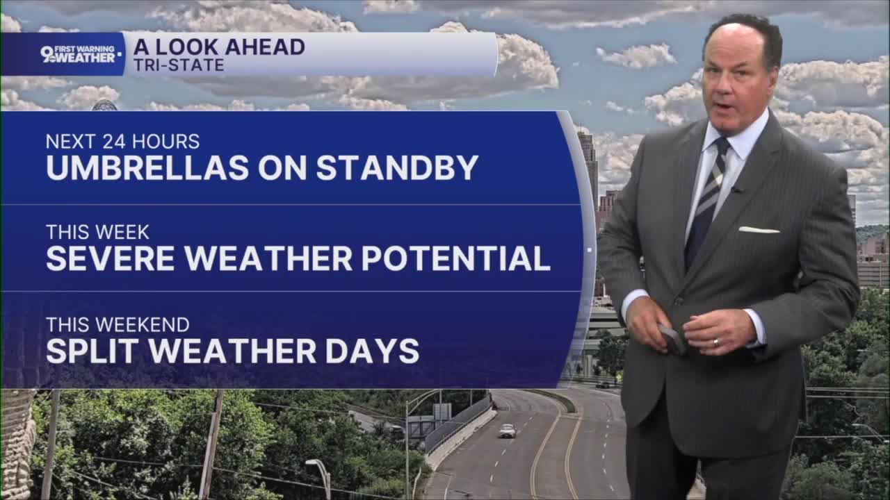


What a day around the Tri-State on Monday, and more nice weather is on tap for Tuesday.
After a quiet and comfortable night with lows settling into the mid-50s, Tuesday starts off on a pleasant note with plenty of sunshine and afternoon temperatures climbing into the upper 70s. Most of the day looks dry, but as we head into the late afternoon, our weather pattern begins to change.

A developing area of low pressure and an approaching front will bring the chance for showers and thunderstorms. Rainfall Tuesday night generally looks light, although locally higher amounts are possible where thunderstorms develop.
Wednesday brings a break for much of the day with temperatures warming into the lower 80s, but attention quickly turns to a stronger storm system approaching from the Great Lakes. During late night Wednesday, showers and thunderstorms become increasingly likely. The Storm Prediction Center has us mainly in a "SLIGHT RISK" for severe storms.

This system has the potential to produce impactful weather across the Tri-State, including strong to severe storms, localized flooding, damaging winds, hail, and even a low-end tornado. While this is all true, the severe weather ingredients are still not guaranteed to come together. We are considering a Weather Alert Day for late Wednesday into Thursday.
By late Wednesday night, rainfall could total around an inch in some locations, with heavier amounts possible where storms repeatedly move over the same areas.

After the storms, this will set the stage for a beautiful stretch of weather on Juneteenth, Friday, and Saturday with sunshine, comfortable temperatures near 80 degrees, and lower humidity before shower chances return by Sunday.
OVERNIGHT
Clear sky
Cool again
Low: 53
TUESDAY
Mostly sunny
Evening storms
High: 76
TUESDAY NIGHT
Storm chance, ending overnight
Not as cool
Low: 59
9 First Warning Weather 24/7 Livestream
==========
- Interactive Radar: Track weather to your doorstep
- Sign up for severe weather email alerts
- Check latest school closings and delays
- WCPO traffic updates
- Metro bus detours and updates (or call the hotline at 513-632-7538)
- Latest power outages from Duke Energy
- Flight cancellations and delays from CVG, other U.S. airports
