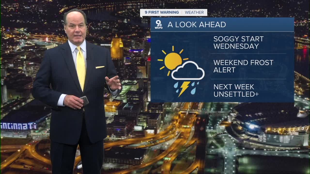


Rain and storms are the rule as we head into Wednesday. Daybreak temperatures will be in the mid 50s. But wait until I tell you about the weather late this week.
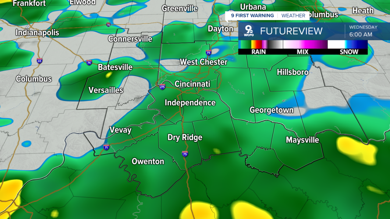
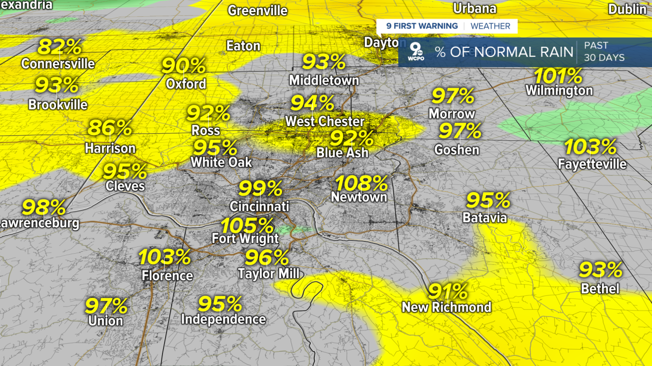
The reason things are kicking up tonight is that a disturbance is pivoting through the Ohio Valley. This is generating a surface low-pressure system that rides along toward us through the morning, which will keep the rain going on Wednesday. Highs will only reach the mid-60s, and the winds will gust to 20-25mph. Some of these storms will be soakers producing upwards of a 1/2" of rainfall. It's not like we need it now:
As for Wednesday night, as the low pressure pulls away to the east, we will start to clear out with only a small chance for a leftover shower.
Then the big story of the week kicks in. A deep trough settles over the Midwest and Great Lakes by Thursday, bringing an extended stretch of below-normal temperatures through the weekend.
Thursday actually looks pretty decent with mostly sunny skies and highs in the low to mid 60s, and we could see highs in the upper 50s and a chance for showers on Friday. That rainmaker will reinforce already cooler air and will give us mornings with lows in the mid to upper 30s for Saturday and Sunday mornings. Dare I say, “frost” is possible in spots.
OVERNIGHT
Rain and isolated storms
Low: 55
WEDNESDAY
Spotty showers
Chance storms
High: 65
WEDNESDAY NIGHT
Partly cloudy
Turning cooler
Low: 43
9 First Warning Weather 24/7 Livestream
==========
- Interactive Radar: Track weather to your doorstep
- Sign up for severe weather email alerts
- Check latest school closings and delays
- WCPO traffic updates
- Metro bus detours and updates (or call the hotline at 513-632-7538)
- Latest power outages from Duke Energy
- Flight cancellations and delays from CVG, other U.S. airports
