

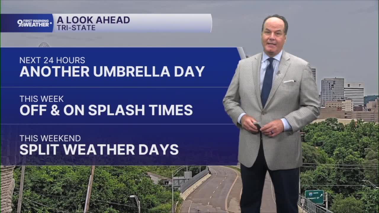


We’re settling into a much more active and increasingly humid weather pattern across the Tri-State. Tonight, expect scattered showers and thunderstorms to continue at times, especially through the overnight hours. Temperatures will stay quite mild, only slipping back into the upper 60s or low 70s, and the air will feel noticeably more tropical by daybreak.
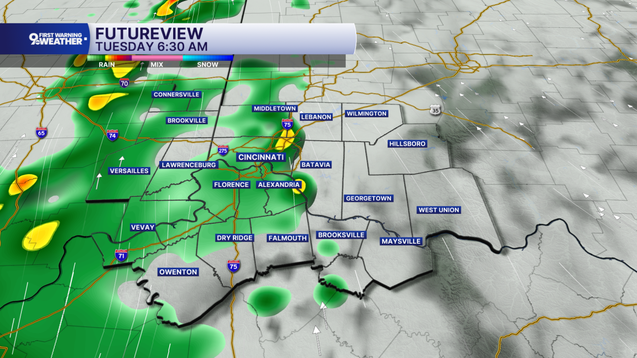
Tuesday looks wet at times with rounds of showers and thunderstorms continuing through much of the day. Some communities could pick up around a half inch of rain, with locally higher amounts where heavier downpours develop. The biggest concern will be pockets of heavy rainfall that could lead to localized flooding in spots. High temperatures will reach the lower 80s, but clouds and rain will keep conditions from heating up too much.
The pattern begins to change on Wednesday. A few showers and thunderstorms may linger early in the day, but improving weather is expected by afternoon as sunshine gradually returns. As the sun comes out, temperatures will quickly climb into the mid to upper 80s. More importantly, humidity levels will surge, making it feel considerably hotter than the thermometer suggests. By Wednesday and Thursday, expect that sticky summer feel to take hold, with muggy mornings, warm nights in the low 70s, and afternoon heat indices pushing well into the 90s.

Thursday will feature a mix of sunshine and building heat, with only a chance for an afternoon or evening thunderstorm. A cold front arrives Friday, bringing another opportunity for scattered showers and thunderstorms while trimming temperatures back slightly. Even so, readings will remain above normal. Behind that front, the weekend looks warmer and generally quieter, with sunshine returning Saturday before another chance for scattered thunderstorms develops later in the weekend.

OVERNIGHT
Mostly cloudy
Rain and storms around daybreak
Low: 70
TUESDAY
Partly cloudy
Isolated showers and storms
High: 81
TUESDAY NIGHT
Scattered rain & storms likely
Low: 70
9 First Warning Weather 24/7 Livestream
==========
- Interactive Radar: Track weather to your doorstep
- Sign up for severe weather email alerts
- Check latest school closings and delays
- WCPO traffic updates
- Metro bus detours and updates (or call the hotline at 513-632-7538)
- Latest power outages from Duke Energy
- Flight cancellations and delays from CVG, other U.S. airports
