

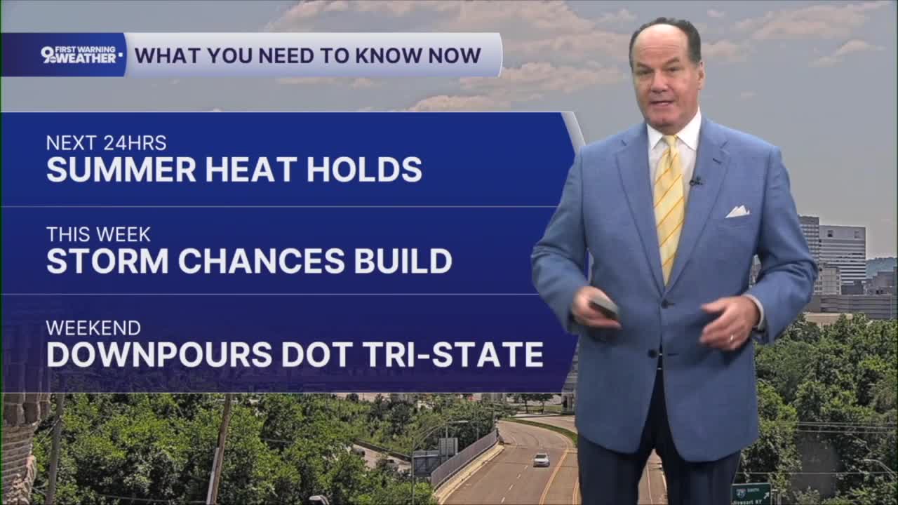


After another warm summer morning, we'll start the day with temperatures in the low to mid 70s, with temps climbing quickly. Plus, the Air Quality Alert continues across Greater Cincinnati.

When you combine that heat with the humidity, it will feel more like the lower 100s at times, so be sure to take it easy if you'll be spending time outdoors. Thursday night stays warm and partly cloudy with lows in the middle 70s.

The weather pattern begins to change as we head into Friday. Clouds will increase through the day, and scattered showers and thunderstorms will become more widespread during the afternoon before continuing into Friday night. Many locations could pick up around a half inch of rain, with locally higher amounts possible where thunderstorms develop. Even though afternoon temperatures ease back into the lower 90s, the air will remain quite humid, so it will still feel hotter than the thermometer indicates.

The unsettled pattern continues into Saturday, with additional scattered showers and thunderstorms expected, especially during the afternoon and evening. Some of those storms could produce locally heavy rainfall, so keep an eye on the forecast if you have outdoor plans. High temperatures will stay close to 90 degrees, but the added humidity will keep it feeling well into the 90s. A cold front brings another round late, around 10-11 pm for everyone, into the overnight.
By Sunday, conditions begin to improve as the front moves through. Sunshine returns for much of the day with highs in the upper 80s, although a lingering shower cannot be ruled out early as the front finishes crossing the area. Sunday night looks pleasant with mostly clear skies and temperatures settling back into the low 70s.
OVERNIGHT
Mostly clear
Patchy fog
Low: 71
TOMORROW
Mostly Sunny
Humid
High: 93
TOMORROW NIGHT
Mostly clear
Low: 71
9 First Warning Weather 24/7 Livestream
==========
- Interactive Radar: Track weather to your doorstep
- Sign up for severe weather email alerts
- Check latest school closings and delays
- WCPO traffic updates
- Metro bus detours and updates (or call the hotline at 513-632-7538)
- Latest power outages from Duke Energy
- Flight cancellations and delays from CVG, other U.S. airports
