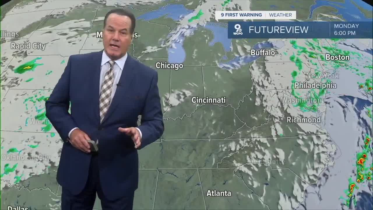


It was a warmer-than-average Monday around the Tri-State as highs were in the mid-70s, which is 5-7 degrees above average. Cincinnati hit 75 degrees.
You'll see the high pressure below, which will keep us dry through the week, before a chance for rain by Saturday night. Tuesday's highs will be a repeat of Monday's.

Conditions will be a bit more seasonal toward the end of the week as afternoon highs drop to the upper 60s to the low 70s. Nevertheless, we'll stay dry and conditions will be clear through Friday.

Of course, the Bengals face the Steelers in prime time Thursday night. The conditions will be cool but great football weather. Temps will be in the 50s for the game, and with a slight breeze will be chilly for some.

By the weekend, a cold front may produce showers on Saturday night. At the moment, the chances are small. The timing looks likely for rain and a chance for thunderstorms on Sunday. Following the cold front passage, high temperatures will fall back to slightly below average, which is 68 degrees.
OVERNIGHT
Mostly clear
Cool
Low: 50
TUESDAY
Mostly sunny
Warmer
High: 76
TOMORROW NIGHT
Mostly clear
Mild
Low: 56
9 First Warning Weather 24/7 Livestream
==========
- Interactive Radar: Track weather to your doorstep
- Sign up for severe weather email alerts
- Check latest school closings and delays
- WCPO traffic updates
- Metro bus detours and updates (or call the hotline at 513-632-7538)
- Latest power outages from Duke Energy
- Flight cancellations and delays from CVG, other U.S. airports
