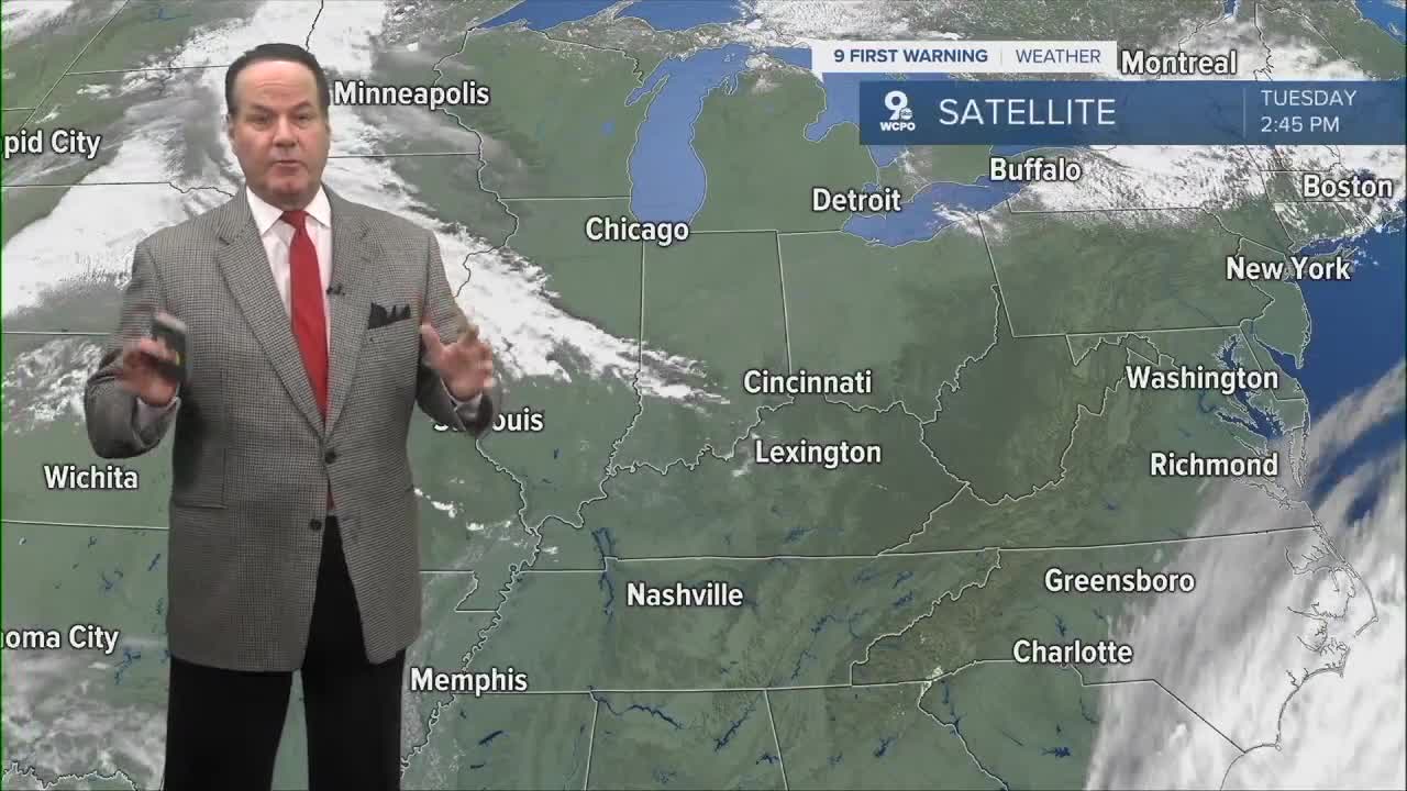


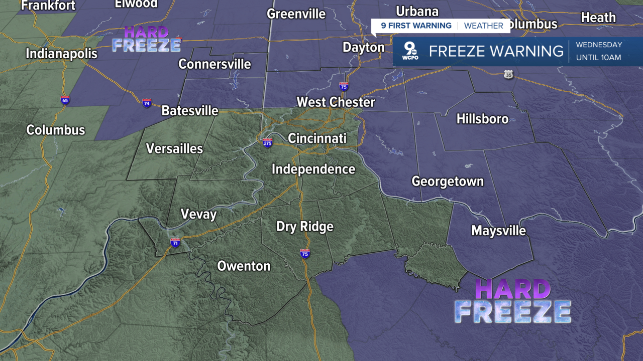
The overnight looks quiet but chilly across Greater Cincinnati, with patchy frost after 2 a.m. and a low around 33 in Cincinnati. Temperatures in the Tri-State are expected to range from the lower to mid-30s tonight, so this is one of those nights where a place like Loveland may want to keep an eye on tender plants. A FREEZE WARNING is out through 10 am on Wednesday.
Wednesday starts with frost in some areas before 9 a.m., then turns sunny, with highs in the mid to upper 60s. Surface high pressure drifting east brings a transition from the northwest winds to a light easterly flow, and radiational cooling is the setup behind the cold start before a much warmer pattern begins. Wednesday night turns partly cloudy with lows in the upper 40s.
Then, Thursday stays sunny with highs in the upper 70s. Thursday night is mostly clear with lows in the low 50s. By Friday, a weak front brings a 30% chance of showers and thunderstorms by late afternoon, with highs in the mid 70s, followed by a decreasing chance of showers through the overnight. After a few morning clouds, Saturday looks mostly sunny with a high near 70, then Sunday brings a few clouds back but with much warmer highs in the low 80s.
OVERNIGHT
Mostly clear
Frost again
Low: 33
WEDNESDAY
Mostly sunny
Warmer
High: 67
T0MORROW NIGHT
Fair to clear
Mild
Low: 48
9 First Warning Weather 24/7 Livestream
==========
- Interactive Radar: Track weather to your doorstep
- Sign up for severe weather email alerts
- Check latest school closings and delays
- WCPO traffic updates
- Metro bus detours and updates (or call the hotline at 513-632-7538)
- Latest power outages from Duke Energy
- Flight cancellations and delays from CVG, other U.S. airports
