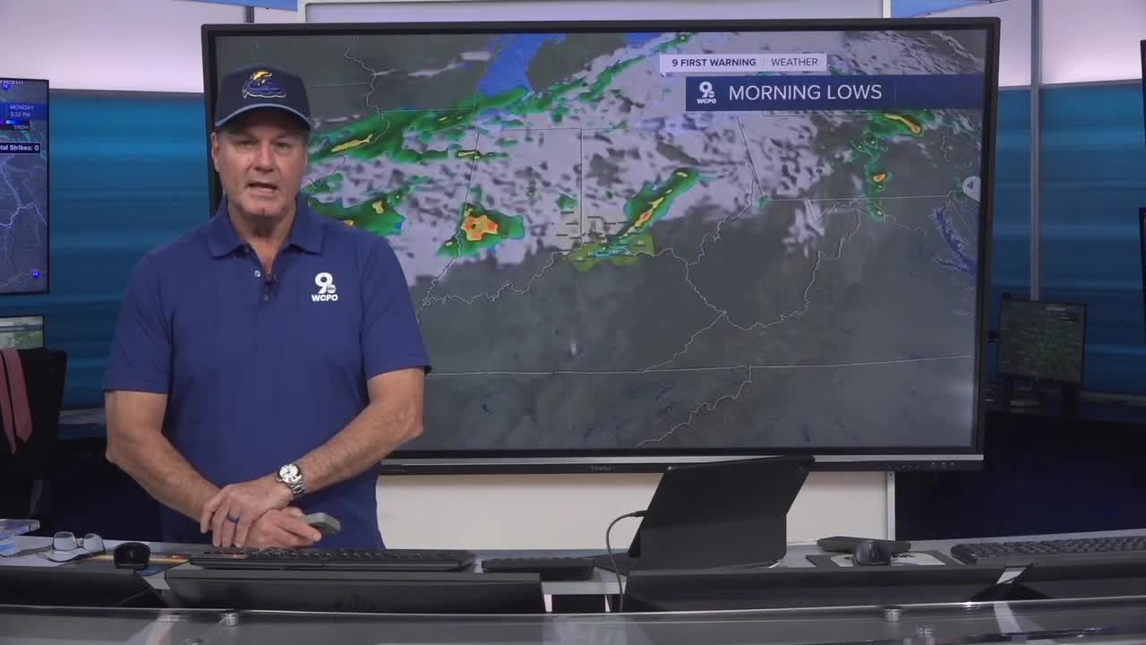


Heading into Tuesday morning, expect partly to mostly cloudy skies and lows in the low to mid-50s. There’s a slight chance of a shower or thunderstorm. But, there’s a more likely chance later.
In the afternoon, when a cold front approaches the region, heavy rain, gusty winds, and possibly small hail will break out across the Tri-State.
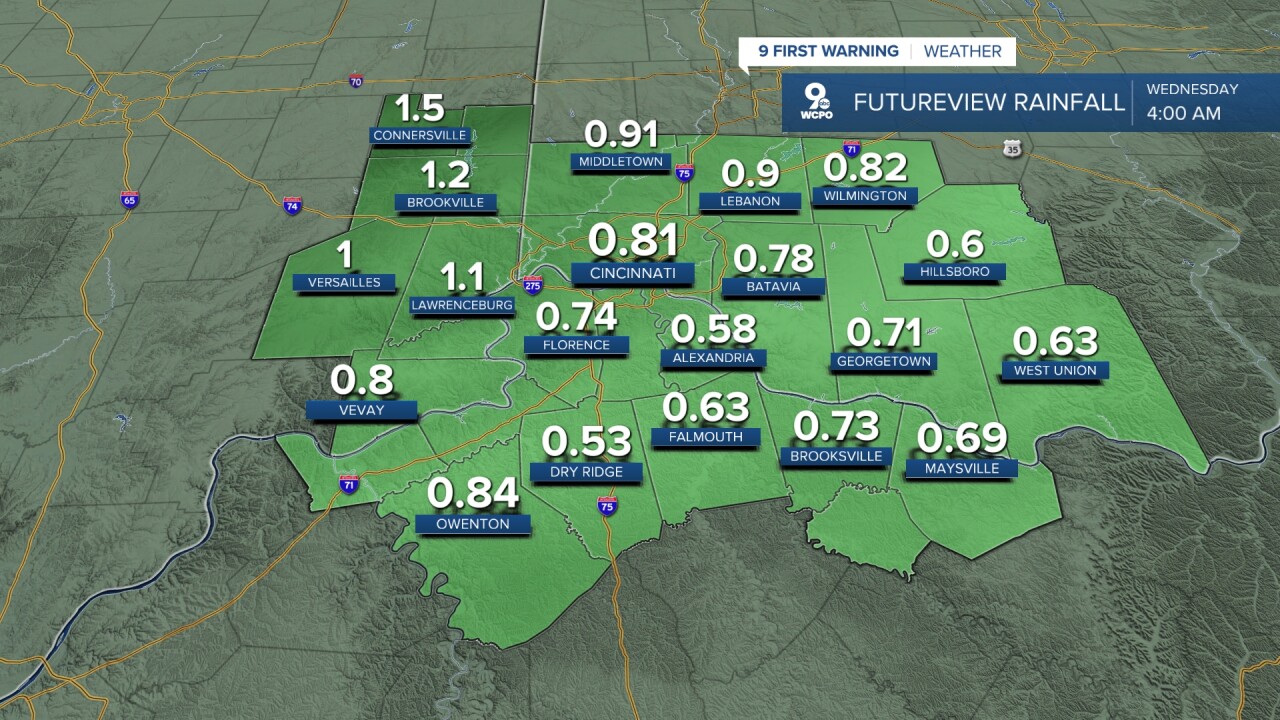
As this front moves in, it’s going to slow down and kind of stall nearby. When that happens, it sets up multiple rounds of rain and some thunderstorms instead of just a quick storm passing through. So, small chances of rain remain in the forecast through Wednesday. Most places will likely get up to an inch of rain; some may get more. We have a small concern about minor flooding.
From Thursday to Friday, the weather looks pretty mild overall with a gradual warm-up. Thursday will be mostly sunny and cooler, with highs around the low 60s. Then, Friday warms up nicely with sunshine and highs near the upper 60s, though clouds increase at night with a chance of showers and lows around 50.
Over the weekend, temperatures climb into the low to mid-70s, with a mix of sun and clouds. There will be occasional chances for showers—especially later Saturday and again Sunday, when a few thunderstorms could pop up—but it won’t be raining all the time. Unfortunately, the most likely rain could come on Mother’s Day afternoon. So, if you’re doing a picnic or other outdoor activities planned for mom, you should have backup plans ready.
OVERNIGHT
Mostly cloudy
Chance rain near daybreak
Low: 58
TUESDAY
Mostly cloudy
Widespread rain
Breezy
High: 68
TUESDAY NIGHT
Showers continue
Overcast
Low: 49
9 First Warning Weather 24/7 Livestream
==========
- Interactive Radar: Track weather to your doorstep
- Sign up for severe weather email alerts
- Check latest school closings and delays
- WCPO traffic updates
- Metro bus detours and updates (or call the hotline at 513-632-7538)
- Latest power outages from Duke Energy
- Flight cancellations and delays from CVG, other U.S. airports
