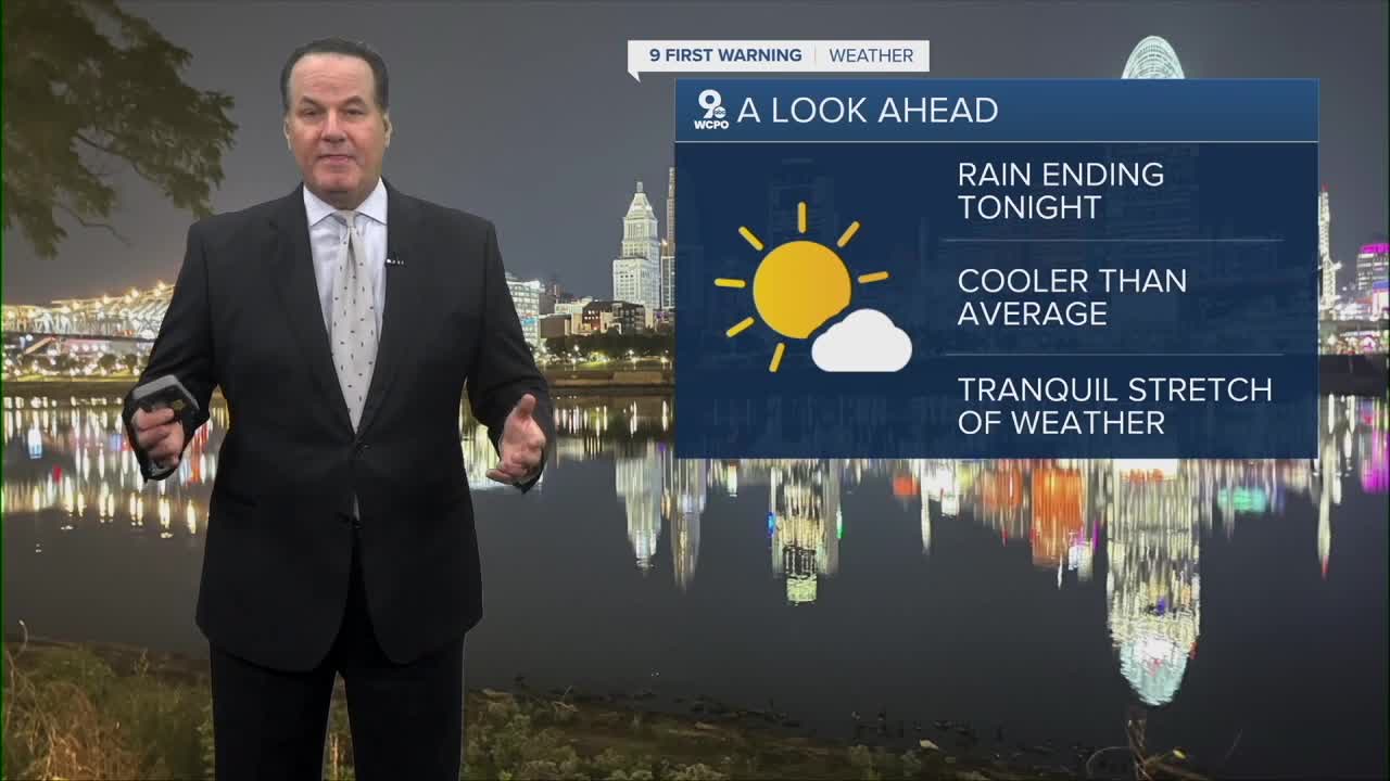


Gradual clearing will happen in the next few hours, and cooler air will start moving into our region. We'll start Wednesday morning with a mostly clear sky and a low of 53 degrees. Of course comes after all of the rain that we've seen in the last 24 hours.

Fall temperatures are back on Wednesday with much drier air. Temperatures will only reach to the upper 60s. In fact, with cooler air from the northeast, Wednesday night lows will drop to the upper 30s in the coolest spots by Thursday morning.
Sunshine will be the dominant feature in our sky to finish the work week and into the weekend forecast. Temperatures are going to increase each day. By the weekend, highs will return to the low to mid 70s.
OVERNIGHT
Clouds slowly move out by daybreak
Low: 53
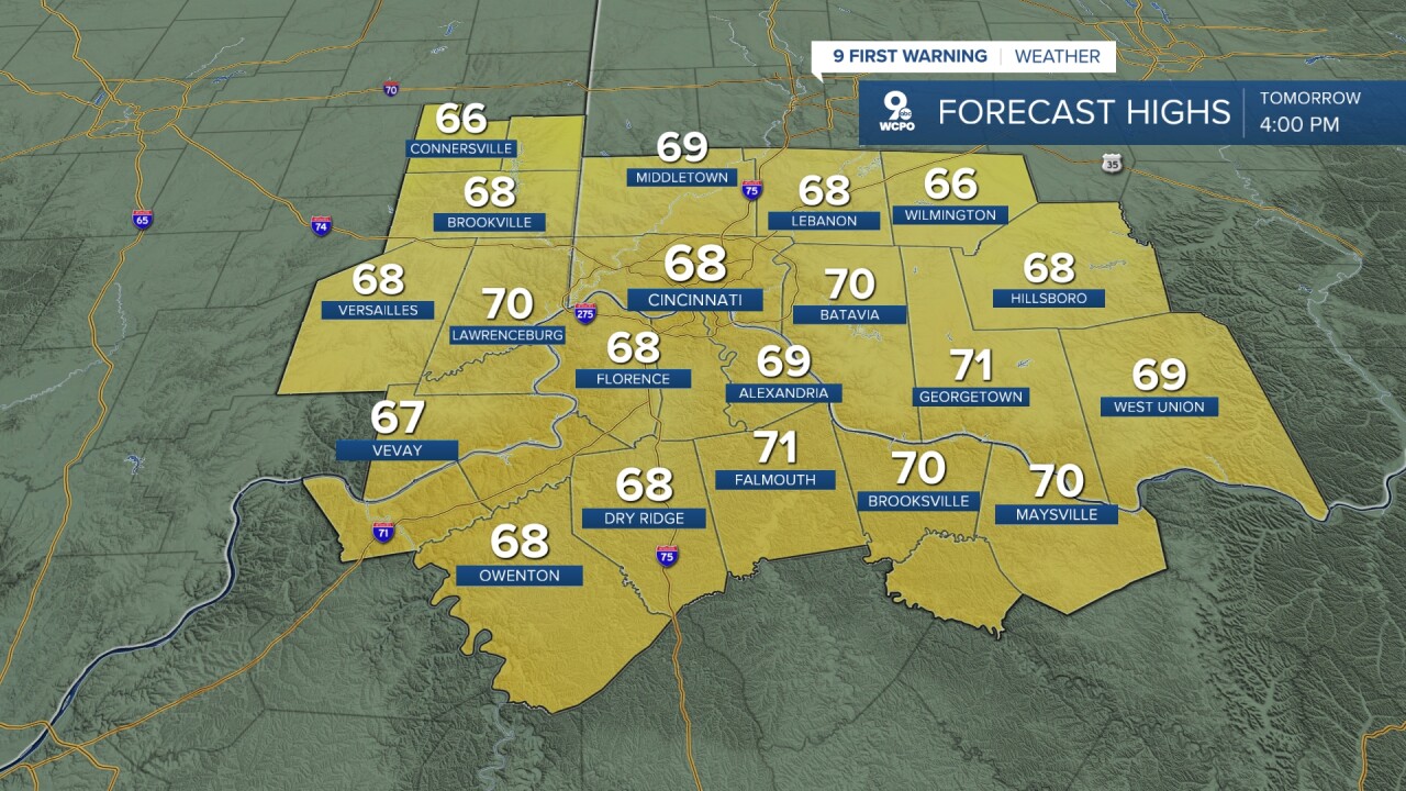
WEDNESDAY
Sunshine returns
Cooler air
High: 68
WEDNESDAY NIGHT
Clear sky
Chilly
Low: 43
9 First Warning Weather 24/7 Livestream
==========
- Interactive Radar: Track weather to your doorstep
- Sign up for severe weather email alerts
- Check latest school closings and delays
- WCPO traffic updates
- Metro bus detours and updates (or call the hotline at 513-632-7538)
- Latest power outages from Duke Energy
- Flight cancellations and delays from CVG, other U.S. airports
