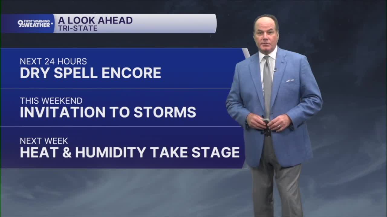


A beautiful stretch of weather is in place again across the Tri-State for Friday. Skies will stay mostly clear with temperatures slipping back into the low 60s by daybreak, making for a comfortable night to open the windows if you’d like.
Friday looks like the pick of the forecast, with early sunshine and afternoon clouds with temperatures climbing into the low to mid-80s. A light southwest breeze will develop during the day, but overall it will be a warm and pleasant start to the weekend.

Friday night stays mild with temperatures holding in the upper 60s. There is a chance that a weakening area of showers could drift in from the northwest late at night, but the better opportunity for any wet weather looks to remain northwest of us.

As we head into Saturday, expect a warm and increasingly humid day with highs pushing the mid to upper 80s. While much of the day will be partly cloudy, scattered showers and thunderstorms will become possible, especially later in the day and into Saturday night.
A few storms could intensify, with damaging wind gusts and large hail as the primary concerns, although widespread severe weather is not expected. Nevertheless, the STORM PREDICTION CENTER has placed almost all of the Tri-State in a MARGINAL RISK.

The chance for showers and thunderstorms continues through the second half of the weekend as a front settles southward and slows down near the Ohio River. Sunday will not be a washout, but periods of rain and storms could develop, especially during the afternoon and evening hours.
Looking ahead to next week, the overall trend is for hot and humid conditions to build into the Tri-State. At the same time, the atmosphere will remain favorable for occasional showers and thunderstorms,
OVERNIGHT
Mostly clear
Mild
Low: 62
FRIDAY
Mostly sunny early
Increasing clouds
High: 84
FRIDAY NIGHT
Mostly cloudy
Warm
Low: 66
9 First Warning Weather 24/7 Livestream
==========
- Interactive Radar: Track weather to your doorstep
- Sign up for severe weather email alerts
- Check latest school closings and delays
- WCPO traffic updates
- Metro bus detours and updates (or call the hotline at 513-632-7538)
- Latest power outages from Duke Energy
- Flight cancellations and delays from CVG, other U.S. airports
