


As the rain tapers off, clouds will remain in place with temperatures holding steady in the mid-40s. Fog has developed in spots, and visibility will drop to a 1/4 mile or less by daybreak. Plus, we'll see some drizzle too before daybreak.
Overcast skies will linger through Wednesday with highs in the low 50s. You might encounter some spotty drizzle.
Showers will return late Thursday before more heavy rain and isolated storms hit again on Friday. Friday night football is likely going to be wet unless something changes.

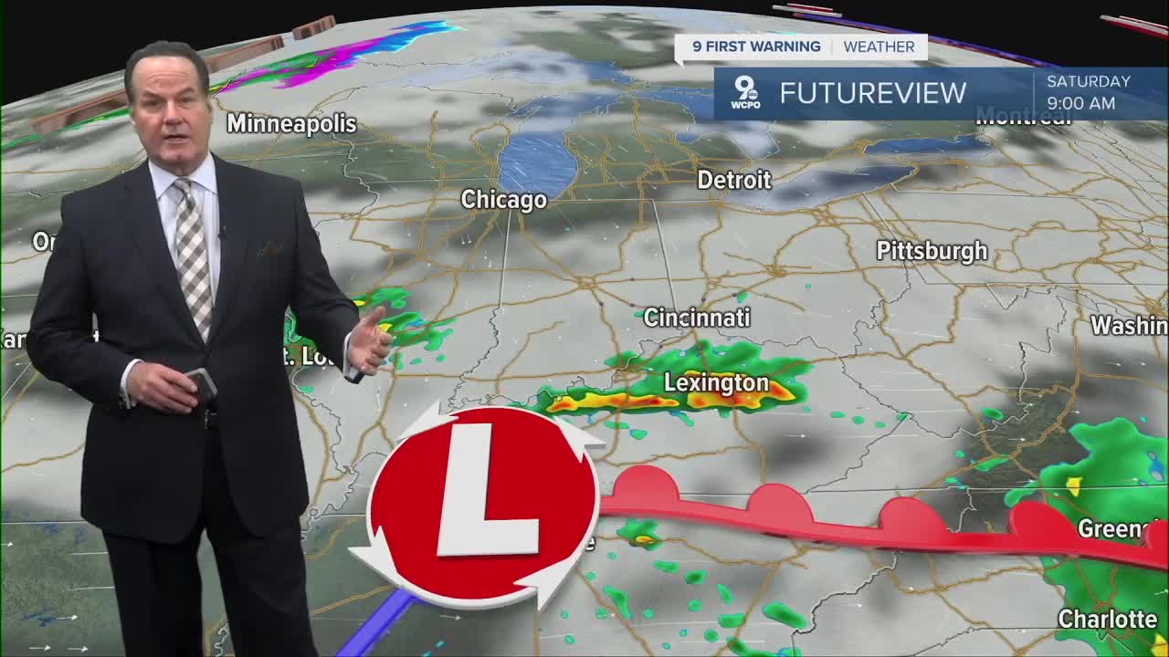
Unfortunately, Mother Nature has changed her mind about Saturday. A rainmaker looks to slow down and could scatter a couple of early showers before partly cloudy skies. Sunday looks better with sunshine and clear skies.
OVERNIGHT
Overcast, Patchy dense fog
Steady temps, drizzle & fog
Low: 42
WEDNESDAY
Overcast
Milder
High: 53
WEDNESDAY NIGHT
Mostly cloudy
Milder again
Low: 45
9 First Warning Weather 24/7 Livestream
==========
- Interactive Radar: Track weather to your doorstep
- Sign up for severe weather email alerts
- Check latest school closings and delays
- WCPO traffic updates
- Metro bus detours and updates (or call the hotline at 513-632-7538)
- Latest power outages from Duke Energy
- Flight cancellations and delays from CVG, other U.S. airports
