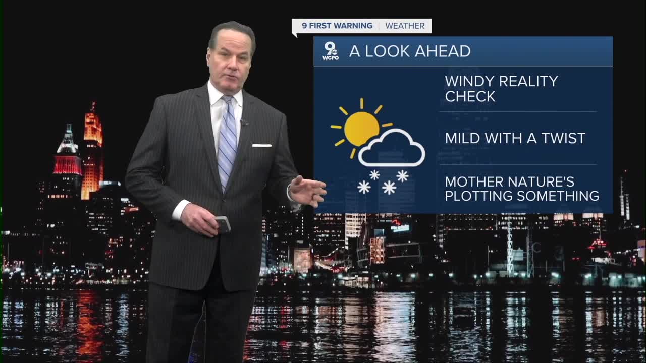


Right now,, clouds are sticking around like guests who kind of overstay their welcome, keeping some of the night mostly cloudy with lows dipping down into the upper teens and low 20s.
Tuesday brings a bit of a breath of fresh air as sunshine tries to break through. You’ll see partly sunny skies and highs climbing to near 40 degrees. Winds will shift from southwest to south and be a bit gusty, hitting 20-25mph. Toward Tuesday night, there’s just a slight chance for a stray rain drop after around 1 a.m., but mostly it will stay cloudy with lows near the mid-30s.
Wednesday is the warmest day of the mid-week, with lots of sunshine and temperatures near the low 50s. But don’t put away your umbrella just yet: Wednesday night could see some rain, maybe even a little rain.

Thursday looks messier with more widespread rain, or rain/snow mix, likely and temperatures in the mid-40s.
By Friday and Saturday, the skies clear up, and Mother Nature decides to give us the weekend we deserve. Sunshine returns with highs climbing into the low 50s on Friday and near 60 on Saturday. It’ll feel downright spring-like. Sunday will be partly cloudy with highs in the upper 40s, and a chance of rain and snow late Sunday night into Monday reminds us winter isn’t totally done.

TONIGHT
Gradual clearing
Colder
Low: 20
TUESDAY
Partly cloudy
Windy
High: 40
TUESDAY NIGHT
Mostly cloudy
Not as cold
Low: 34
9 First Warning Weather 24/7 Livestream
==========
- Interactive Radar: Track weather to your doorstep
- Sign up for severe weather email alerts
- Check latest school closings and delays
- WCPO traffic updates
- Metro bus detours and updates (or call the hotline at 513-632-7538)
- Latest power outages from Duke Energy
- Flight cancellations and delays from CVG, other U.S. airports
