


We are dry tonight but a quick wrinkle in the forecast gets thrown in with a quick chance for showers and storms tomorrow.
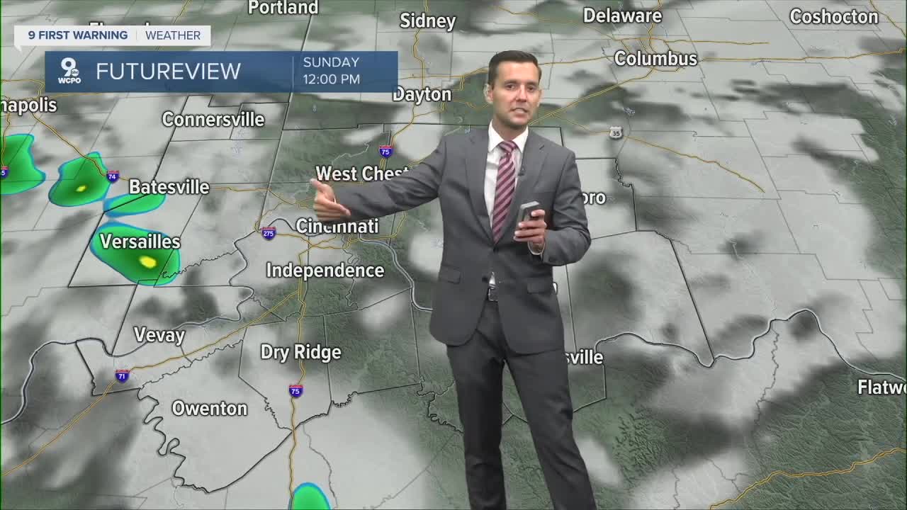
Rain chances will increase Sunday morning with a few storms and heavy rain possible. The best time frame for this is from 9am-12pm.
By 1pm, we dry out and temperatures are expected to be near 93 for a high. The heat persists through Monday before better storm chances return on Tuesday and Wednesday.
Once the storm systems push through by midweek, expect some relief from the heat as temperatures drop into the 80s on Wednesday and last through the weekend.
SATURDAY NIGHT
Clear sky
Mild
Low: 71
SUNDAY
AM Rain chances
Feels like 100
High: 93
SUNDAY NIGHT
Partly cloudy
Mild
High: 72
9 First Warning Weather 24/7 Livestream
==========
- Interactive Radar: Track weather to your doorstep
- Sign up for severe weather email alerts
- Check latest school closings and delays
- WCPO traffic updates
- Metro bus detours and updates (or call the hotline at 513-632-7538)
- Latest power outages from Duke Energy
- Flight cancellations and delays from CVG, other U.S. airports
