



We’re heading into a much quieter stretch across the Cincinnati Tri-State after our recent rounds of rain and thunderstorms. Skies become mostly clear overnight with temperatures dropping into the mid 60s. With plenty of moisture still hanging around, some patchy fog develops near daybreak.
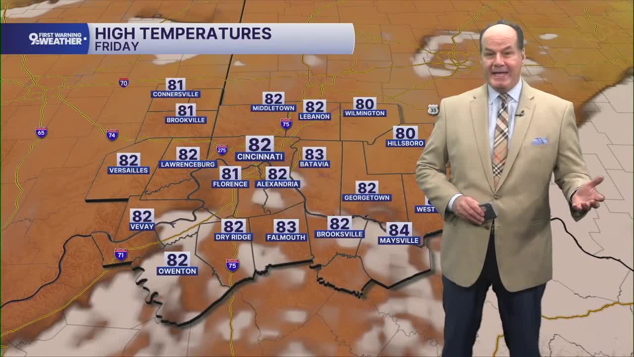
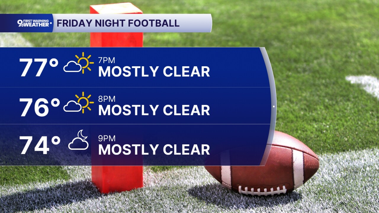
As for the day, look for mostly sunny skies, light northerly winds, and afternoon temperatures in the low 80s. Friday night remains mostly clear and quiet, with temperatures settling back into the mid 60s. This will make for an excellent start to Friday Night Lights for many schools back in action.
Most of Saturday looks good as well, with mostly sunny skies and temperatures again climbing into the low 80s. Our attention then turns to the afternoon as a stronger disturbance moves through the Great Lakes that will push a cold front into the Tri-State Saturday afternoon and evening.

The cold front will bring a chance for showers and thunderstorms after about 2 o’clock. The atmosphere will become moderately unstable, but the winds needed to better organize those storms are expected to lag, which could limit storm organization. This is why the Storm Prediction Center has placed us only in a Marginal Risk for severe weather, a level one out of five. Rain chances diminish by Saturday evening.
OVERNIGHT
Mostly clear
Dry
Low: 65
FRIDAY
Mostly sunny
Dry and warm
High: 81
FRIDAY NIGHT
Few clouds
Pleasant
Low: 64
9 First Warning Weather 24/7 Livestream
==========
- Interactive Radar: Track weather to your doorstep
- Sign up for severe weather email alerts
- Check latest school closings and delays
- WCPO traffic updates
- Metro bus detours and updates (or call the hotline at 513-632-7538)
- Latest power outages from Duke Energy
- Flight cancellations and delays from CVG, other U.S. airports
