


Odds are, a lot of you woke up to heavy rain and thunder this morning around 3 o'clock. However, as we move through the rest of the morning we will be mainly dry.
We'll see a lot of dry time from late morning to early afternoon. It will be mostly cloudy as we warm up into the upper 70s. It will also be humid and a little breezy.
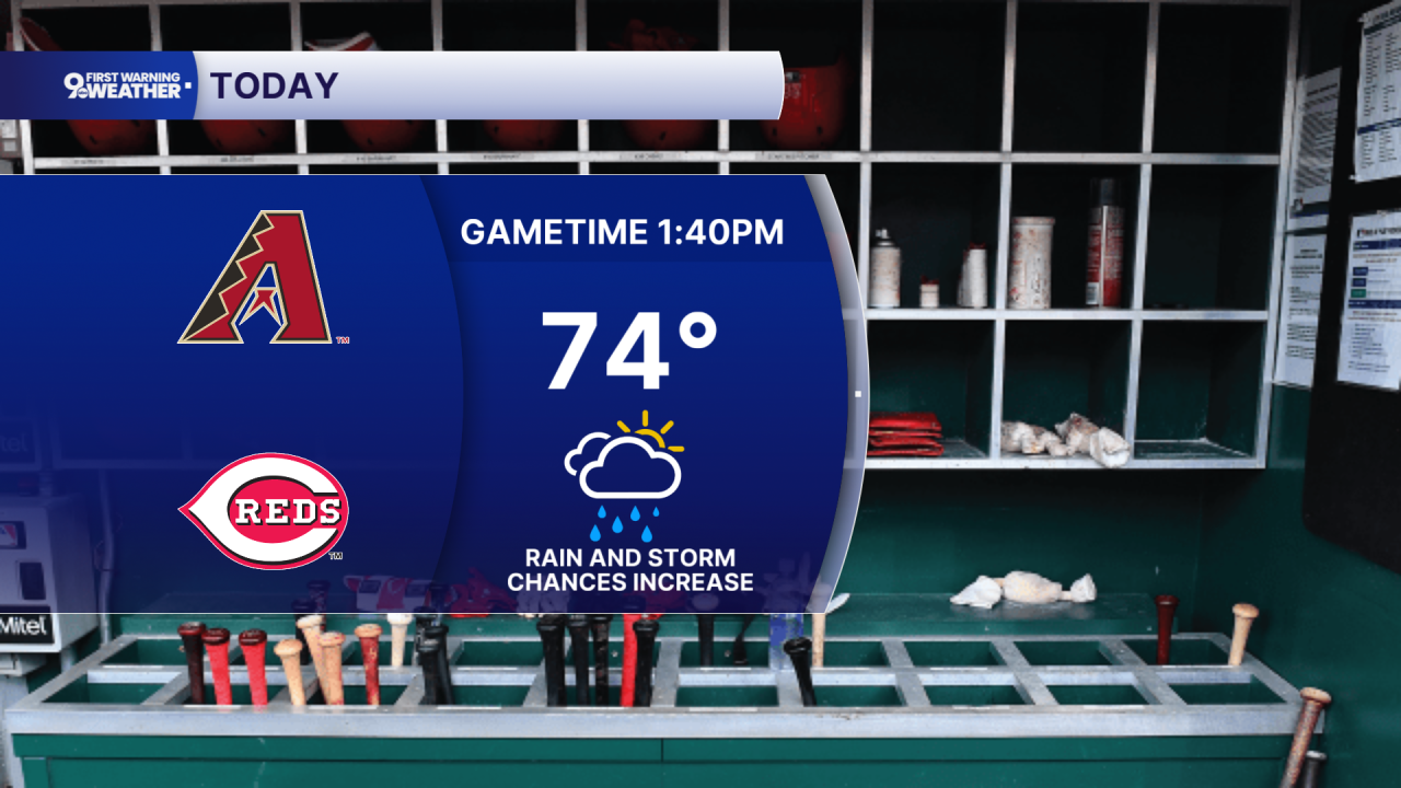
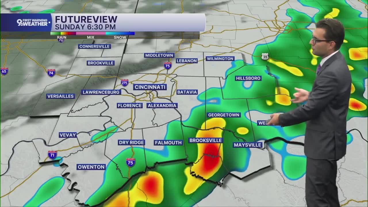
By mid-afternoon, scattered rain and storms will become more common again. A majority of us will get hit by some of this rain, but it should move out early in the evening. Severe weather is not expected.

Behind the cold front, much more comfortable weather arrives to start the workweek. Monday will be partly cloudy with low humidity and highs in the low 70s, then we warm up into the mid 70s Tuesday afternoon.
Most of Wednesday will be dry, letting us heat up closer to 80 degrees. Then, a cold front brings another wave of showers and storms as early as Wednesday night. Storms will continue at times on Thursday with highs in the low 80s. Some of these storms could be strong to severe.

We cool off into the upper 70s Friday with a mix of sunshine and clouds.
The weekend brings low 80s before another wave of rain late Sunday into Monday.
THIS MORNING
Mostly cloudy
Spotty rain
Low: 66
TODAY
Mostly cloudy
Scattered rain/storms
Humid
High: 77
SUNDAY NIGHT
Partly cloudy
Cooler
Low: 55
MONDAY
Partly cloudy
Low humidity
High: 73
9 First Warning Weather 24/7 Livestream
==========
- Interactive Radar: Track weather to your doorstep
- Sign up for severe weather email alerts
- Check latest school closings and delays
- WCPO traffic updates
- Metro bus detours and updates (or call the hotline at 513-632-7538)
- Latest power outages from Duke Energy
- Flight cancellations and delays from CVG, other U.S. airports
