


It was a rainy and windy way to wrap up the weekend. Rain totals are closing in on 1 inch at CVG.
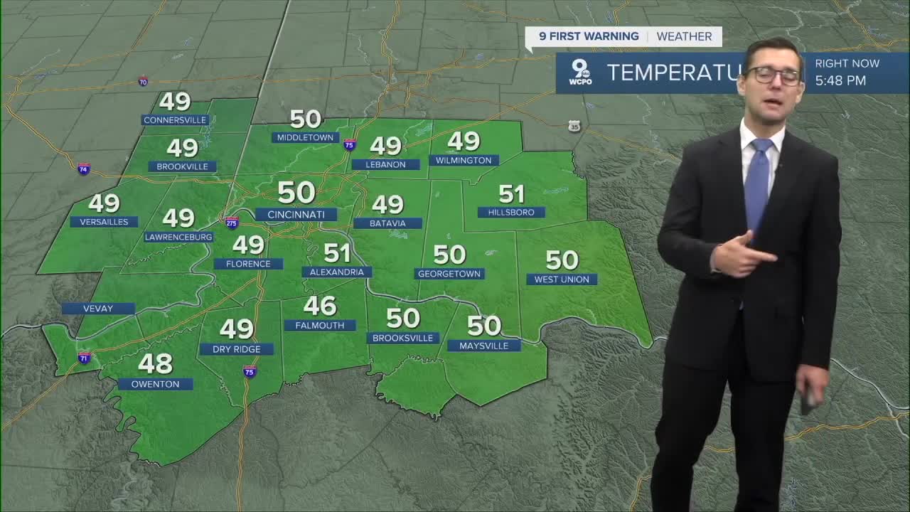
Temperatures have been falling since midnight and we will dip down to around 40 by tomorrow morning.
Rain will be gone by this mroning and we see lots of blue skies for our Monday and temperatures climb to the low 60s. A few degrees below average.
The week ahead will be drier and cooler, with the exception of a slight chance for rain Tuesday. Expect some chilly mornings as lows dip to around 40 through midweek.
TONIGHT
A few showers
Much cooler
Low: 42
MONDAY
Mostly sunny
Cooler
High: 65
MONDAY NIGHT
Mostly clear
Chilly
Low: 48
9 First Warning Weather 24/7 Livestream
==========
- Interactive Radar: Track weather to your doorstep
- Sign up for severe weather email alerts
- Check latest school closings and delays
- WCPO traffic updates
- Metro bus detours and updates (or call the hotline at 513-632-7538)
- Latest power outages from Duke Energy
- Flight cancellations and delays from CVG, other U.S. airports
