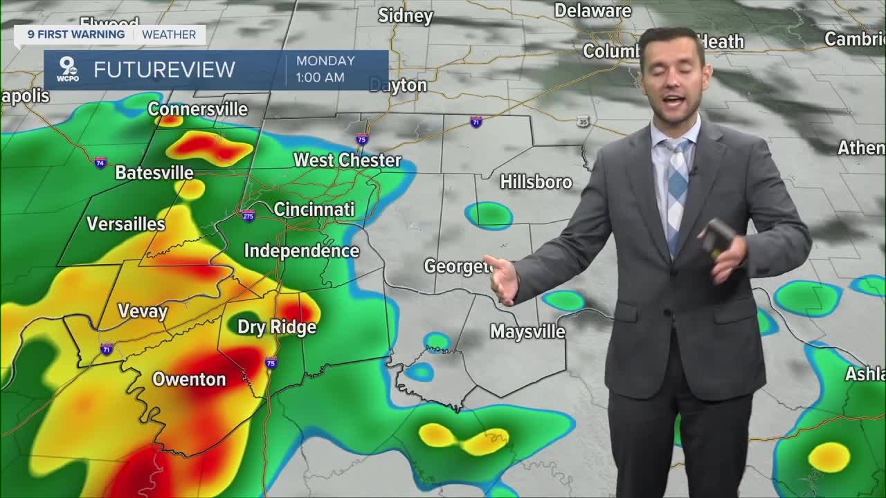


After several tornado warned storms in the area, a Flood Watch is in effect through Monday morning.
Downpours could linger into the night, so don’t let your guard down yet. Up to 1-2 inches of rainfall is possible with isolated higher amounts.
More storms are possible but will be isolated and not nearly as much as what we saw Sunday. Hot and dry conditions for middle of week.
TONIGHT
Scattered showers
Flood Watch
Low: 71
MONDAY
Scattered showers
Flood Watch continues
High: 82
9 First Warning Weather 24/7 Livestream
==========
- Interactive Radar: Track weather to your doorstep
- Sign up for severe weather email alerts
- Check latest school closings and delays
- WCPO traffic updates
- Metro bus detours and updates (or call the hotline at 513-632-7538)
- Latest power outages from Duke Energy
- Flight cancellations and delays from CVG, other U.S. airports
