


The overnight hours will be clearing, but fog will form just ahead of daybreak. You should expect a dense fog advisory that will likely be issued. Morning lows will be mild, near 70 degrees.
We have a front that will fall apart and drop south of the area. But the boundary may wiggle near us in the afternoon. As a result, there's a slight chance for a couple of afternoon showers.
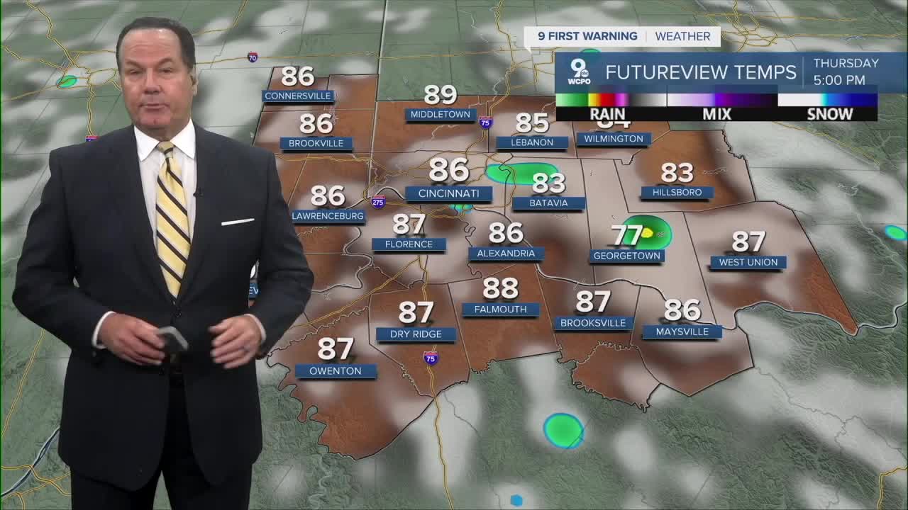
Highs in the afternoon will reach the mid-80s and feel a bit warmer. While you'll feel the humidity, it won't be the uncomfortable feeling that we've had.
The heat is on for Friday and into the weekend. The humidity will rise too, leading to heat indices from 90-95 degrees
OVERNIGHT
Clearing skies
Daybreak fog
Low: 70
THURSDAY
Partly cloudy to mostly sunny
Slight afternoon rain chance
High: 86
THURSDAY NIGHT
Mostly clear
Warm
Low: 70
9 First Warning Weather 24/7 Livestream
==========
- Interactive Radar: Track weather to your doorstep
- Sign up for severe weather email alerts
- Check latest school closings and delays
- WCPO traffic updates
- Metro bus detours and updates (or call the hotline at 513-632-7538)
- Latest power outages from Duke Energy
- Flight cancellations and delays from CVG, other U.S. airports
