

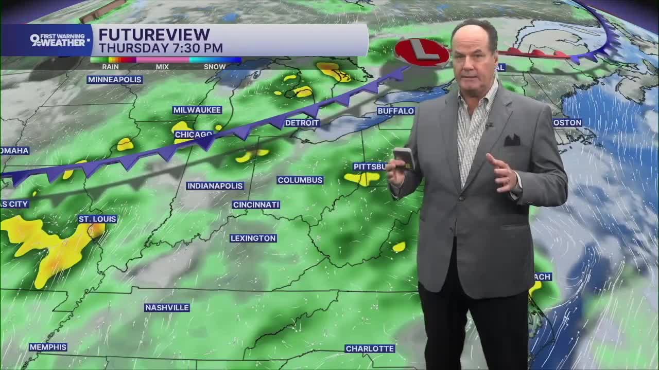


Skies will partially clear, and winds will become light, as patchy fog may develop toward daybreak, especially in spots that pick up rain. Overnight temperatures will settle into the upper 60s.
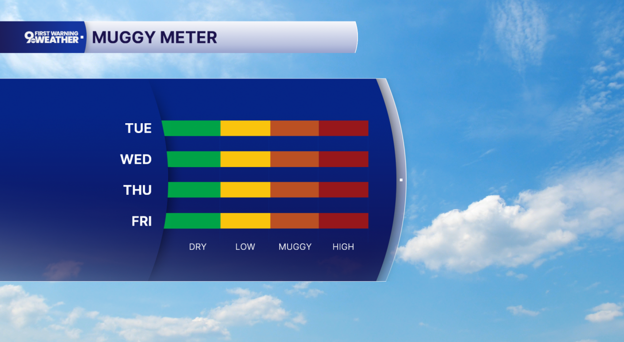
Tuesday starts similarly to the last 24 hours, warm and humid. Skies give way to a mix of sun and clouds. It will turn warm during the afternoon with highs in the mid 80s, and most communities should stay dry. Tuesday night remains mild with increasing clouds and temperatures holding near the upper 60s.
By Wednesday, the overall weather pattern changes very little. We'll see another warm afternoon with highs a bit warmer, and there will once again be a chance for scattered showers and thunderstorms developing later in the day before tapering off Wednesday evening. Thursday follows a similar trend, featuring plenty of sunshine for much of the day, very warm temperatures again, and another opportunity for afternoon storms.
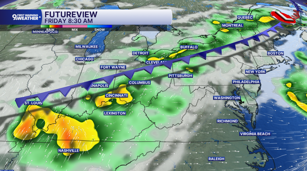
The better chance for widespread wet weather arrives late Thursday night and continues through Friday as a front moves into the region. Expect periods of showers and thunderstorms that could make for a soggy end to the workweek before rain chances gradually ease Friday night.
As we head into the weekend, don't cancel outdoor plans just yet, but keep an eye on the sky. Saturday and Sunday both bring a chance for scattered showers and thunderstorms, mixed with dry periods and some sunshine. Afternoon temperatures stay in the mid 80s, while nights remain comfortably warm in the upper 60s.
THIS MORNING
Partly cloudy, patchy fog
Muggy
Low: 70
TUESDAY
Partly sunny
Chance isolated afternoon storms
High: 85
TUESDAY NIGHT
Few clouds
Mild
Low: 67
9 First Warning Weather 24/7 Livestream
==========
- Interactive Radar: Track weather to your doorstep
- Sign up for severe weather email alerts
- Check latest school closings and delays
- WCPO traffic updates
- Metro bus detours and updates (or call the hotline at 513-632-7538)
- Latest power outages from Duke Energy
- Flight cancellations and delays from CVG, other U.S. airports
