

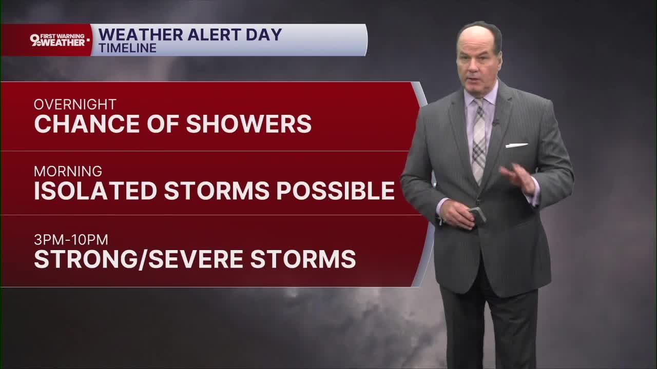


9 FIRST WARNING WEATHER ALERT DAY
It’s going to be a very active stretch of weather across the Cincinnati Tri-State, with multiple rounds of showers and thunderstorms from this morning through Thursday. Chances of storms will continue to increase, with showers and storms becoming more likely into the early morning hours. Temperatures stay mild, with lows in the low 70s.
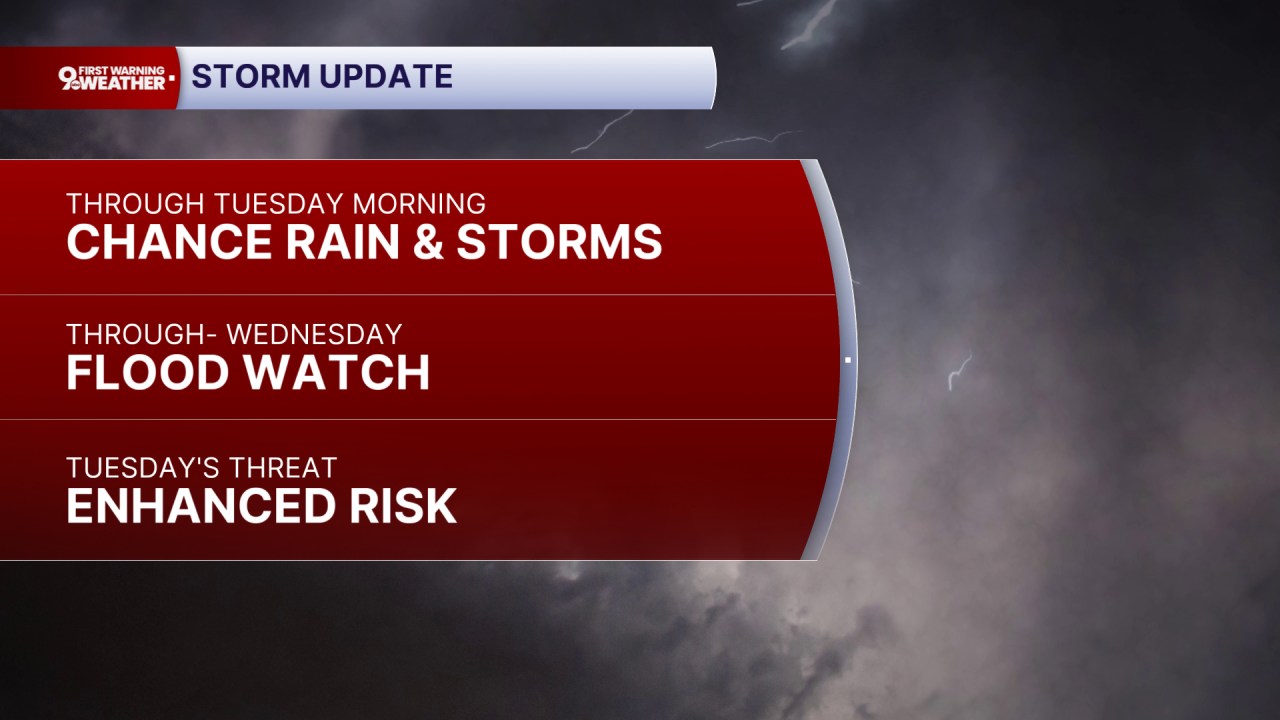
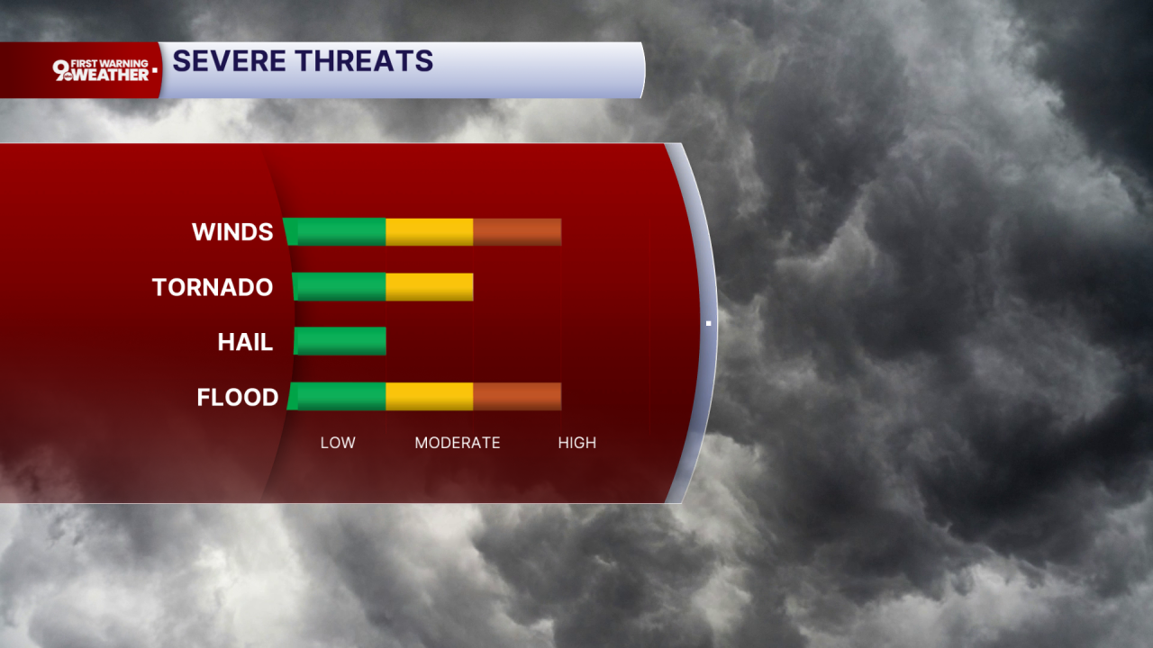
Tuesday is the most concerning day in the forecast. We’ll likely start with showers and thunderstorms, then see additional storms through the afternoon and evening. It will be warm, with highs around 90. The main concerns are damaging winds and spin-up tornadoes, if a more organized line of storms develops. While severe storms are possible early, the most likely period is from 3 pm to 10 pm. With a lot of lightning expected, power outages are quite possible by late afternoon or evening. With multiple rounds possible, storms repeatedly tracking over the same areas could also produce flash flooding. Another round of thunderstorms is possible Tuesday night into early Wednesday, keeping flooding concerns elevated.
Wednesday brings another chance for storms, especially during the afternoon and evening. Highs will be in the upper 80s, with additional rainfall of roughly a quarter to half an inch possible. Thursday stays unsettled, with showers and a few thunderstorms becoming more likely during the afternoon and continuing Thursday night. By Friday, showers and storms remain possible early. But a much-needed drier stretch develops into Friday and Saturday. Temperatures ease back into the low 80s Friday, then rebound to the mid 80s Saturday. Sunday turns warmer again, with a chance for showers and thunderstorms.
OVERNIGHT
Chance scattered rain then
Isolated downpours & t-storms likely by daybreak
Low: 73
TUESDAY
Strong to severe storms
Developing into the afternoon
High: 88
TUESDAY NIGHT
Severe storm chance continues
Very muggy
Low: 70
9 First Warning Weather 24/7 Livestream
==========
- Interactive Radar: Track weather to your doorstep
- Sign up for severe weather email alerts
- Check latest school closings and delays
- WCPO traffic updates
- Metro bus detours and updates (or call the hotline at 513-632-7538)
- Latest power outages from Duke Energy
- Flight cancellations and delays from CVG, other U.S. airports
