


The weather pattern over the Ohio Valley is turning more active, so it’s worth keeping an eye on the forecast through the rest of the week.
Overnight will continue to see scattered showers and isolated storms are possible as temperatures stay mild in the upper 40s to low 50s.
By the morning, that warmer air continues to surge north into the Ohio Valley as a stronger storm system organizes across the Midwest. This will mean more rain and storms are likely for the morning rush.
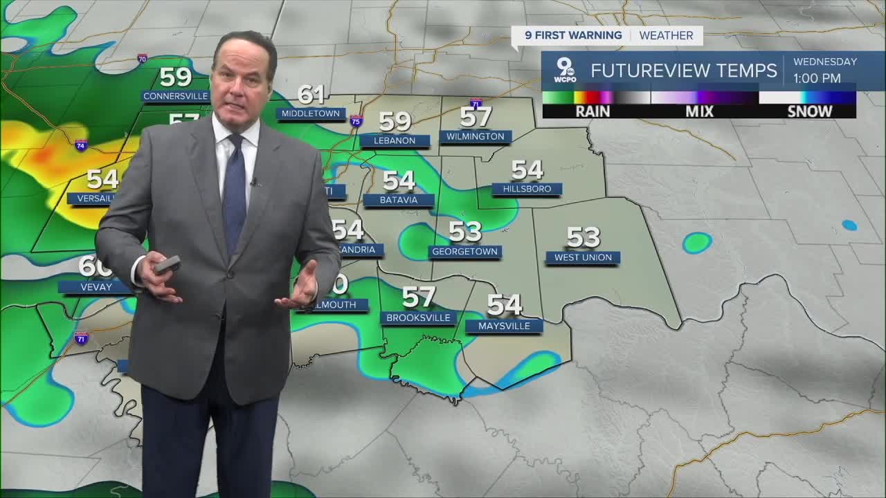
About midday, while there's a chance for spotty rain, you should expect mostly cloudy skies with temperatures climbing into the 60s, which is noticeably above average for this time of year.
A few scattered showers will begin to develop into the afternoon as we continue under a FLOOD WATCH. Then, on Wednesday night, deeper moisture moves into the area, bringing the chance for stronger storms.

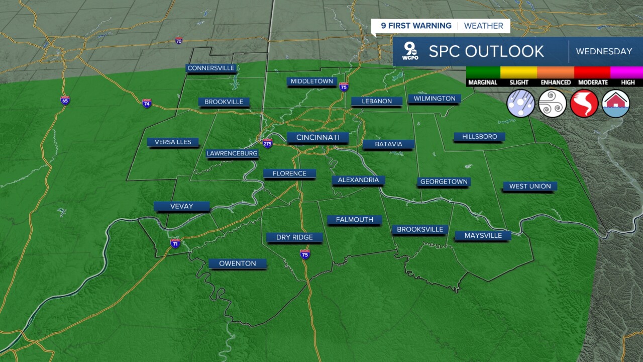
Thursday looks like the most active day of the week. Rain becomes more widespread during the day and especially into Thursday night as a low-pressure system moves through the Great Lakes. Some thunderstorms are possible as well, and as the atmosphere shows severe indicators, a few stronger storms cannot be ruled out late Thursday into Thursday night. The main concern would be gusty winds and locally heavier downpours. Overall, severe weather potential currently appears marginal, but it’s to monitor. Friday still has a chance for rain in the morning, but otherwise, it's not as likely.
With multiple rounds of rain possible through the week, the Weather Prediction Center highlights the chance for localized flooding if heavier rain bands set up over the same areas. Widespread flooding is not expected right now, but small streams, creeks, and low-lying roads could see minor issues as rainfall adds up quickly.
Another upper-level trough approaching the Ohio Valley could bring more showers and storms on Saturday before some drier weather on Sunday
OVERNIGHT
Rain
Heavy at times
Low: 49
WEDNESDAY
Rain and isolated storms
Marginal Risk -Severe weather
High: 62
WEDNESDAY NIGHT
Showers and storms
A few strong to severe storms
Low: 56
9 First Warning Weather 24/7 Livestream
==========
- Interactive Radar: Track weather to your doorstep
- Sign up for severe weather email alerts
- Check latest school closings and delays
- WCPO traffic updates
- Metro bus detours and updates (or call the hotline at 513-632-7538)
- Latest power outages from Duke Energy
- Flight cancellations and delays from CVG, other U.S. airports
