

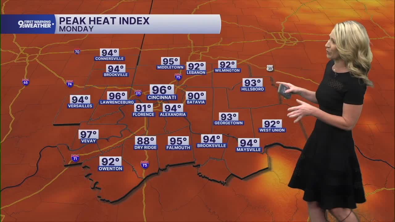


The sky will be mostly sunny almost all week long as high pressure sits just to the southeast. The temperature will settle into the mid 90s but with rising humidity, it's going to start feeling like 100 degrees very soon!
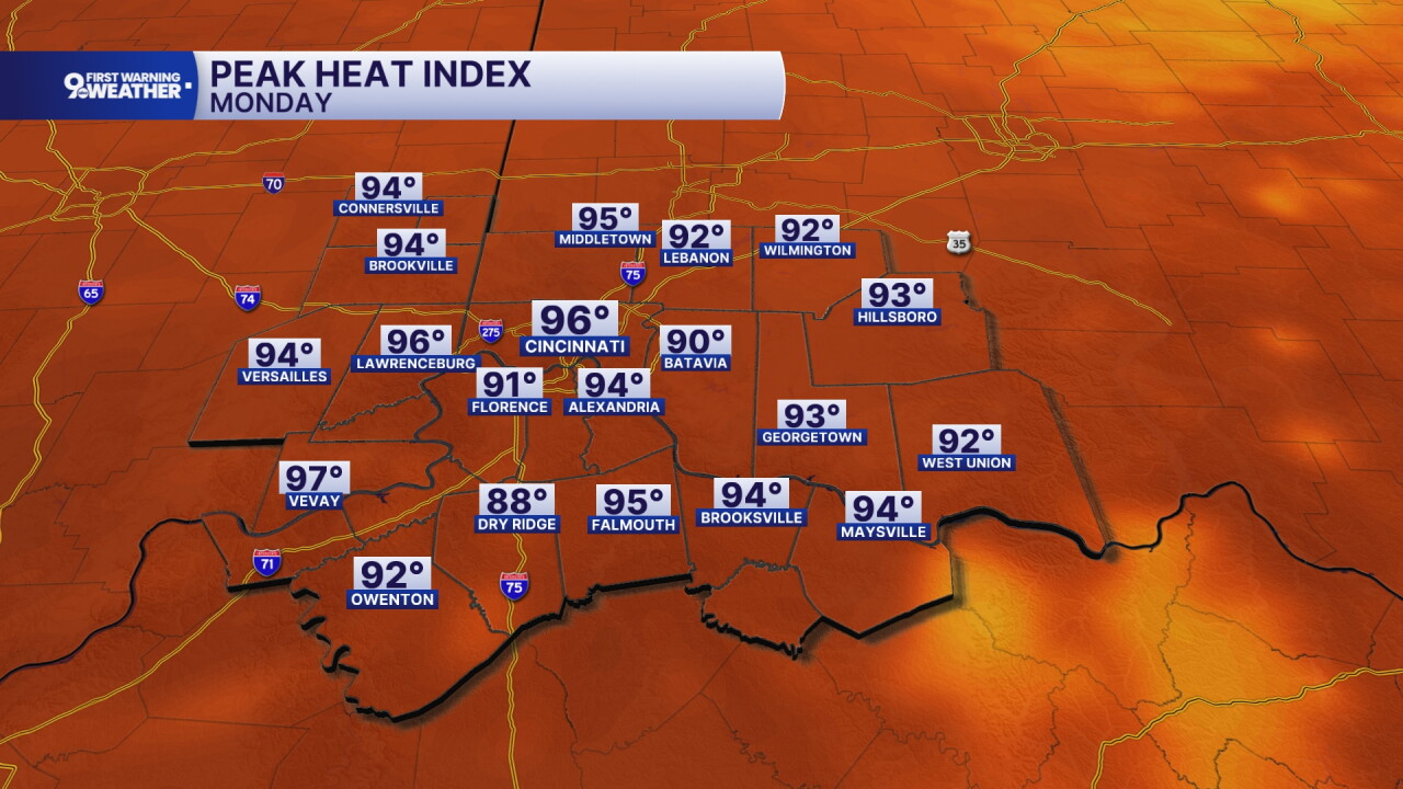
Monday morning starts with just a few clouds and warm temperatures in the low 70s. We'll see a mostly sunny sky today and winds are expected from the southwest at 5 to 10 mph. Temperatures warm to 93 degrees with a heat index closer to 96 degrees.
Heat and humidity continue to rise ever so slightly on Tuesday. The high of 94 degrees will feel like 98 degrees. The sky will be mostly sunny again and you'll notice that it's feeling more humid outside.
Wednesday will be HOT! The sky will be cloud-free, and we should warm to 95 degrees with a heat index of 100 degrees. I wouldn't be surprised if a heat advisory is issued for this day.
Thursday's forecast will be the same. A high of 95 degrees will feel like 100 degrees.
Eventually, the ridge of high pressure sitting over North Carolina will slowly start to break down, and we'll start to see rain coming back into the forecast. This means we could see a few isolated showers on Friday. The better chance for rain looks to be on Saturday.
MORNING RUSH
Few clouds
Warm
Low: 73
MONDAY
Mostly sunny
Feels like 96°
High: 93
MONDAY NIGHT
Few clouds
Warm
Low: 73
TUESDAY
Mostly sunny
Feels like 98°
High: 94
TUESDAY NIGHT
Few clouds
Muggy
Low: 74
9 First Warning Weather 24/7 Livestream
==========
- Interactive Radar: Track weather to your doorstep
- Sign up for severe weather email alerts
- Check latest school closings and delays
- WCPO traffic updates
- Metro bus detours and updates (or call the hotline at 513-632-7538)
- Latest power outages from Duke Energy
- Flight cancellations and delays from CVG, other U.S. airports
