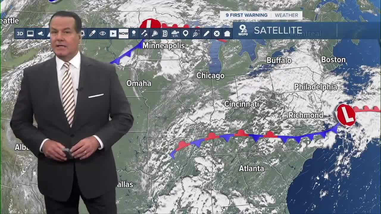


A few scattered showers will continue right into the morning rush. Plus, it'll stay very muggy, so morning lows will only drop to the upper 60s at daybreak.

The unsettled pattern sticks around through the week, with more rounds of showers and storms possible through Thursday. Some of those could bring heavy rain at times.
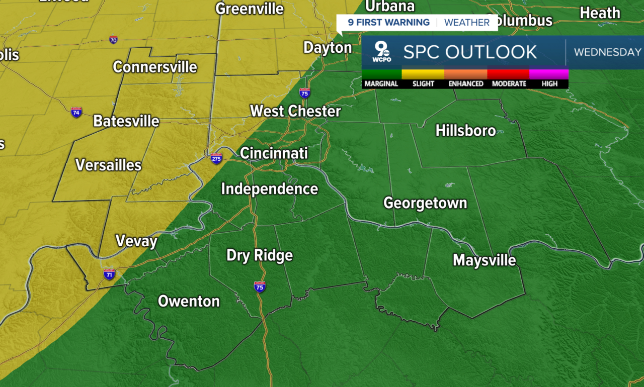
We have a MARGINAL/SLIGHT RISK for severe storms on Wednesday.
By the end of the week, things start heating up. The summer solstice is on Friday, officially coming in at 10:41 pm.
Just in time for summer, highs will climb into the 90s this weekend, and the heat continues into early next week. If this holds, it would be our first heatwave of the season.
OVERNIGHT
Isolated showers
Chance storms
Low 69
TOMORROW
Showers early
Afternoon storms likely
HIGH 79
TOMORROW NIGHT
Scattered showers ending
Chance storms
Low 68
9 First Warning Weather 24/7 Livestream
==========
- Interactive Radar: Track weather to your doorstep
- Sign up for severe weather email alerts
- Check latest school closings and delays
- WCPO traffic updates
- Metro bus detours and updates (or call the hotline at 513-632-7538)
- Latest power outages from Duke Energy
- Flight cancellations and delays from CVG, other U.S. airports
