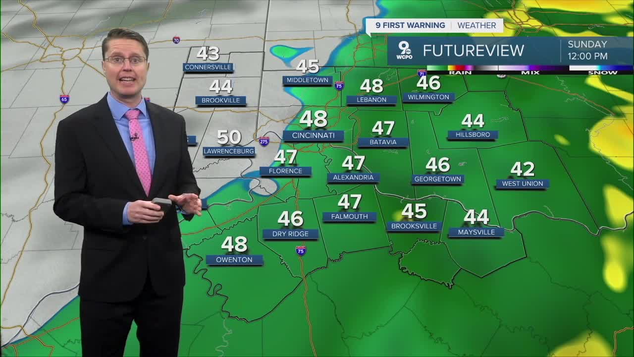


The widespread rain continues into Sunday morning, but also keeps us mild, in the low 40s across the Tri-State.
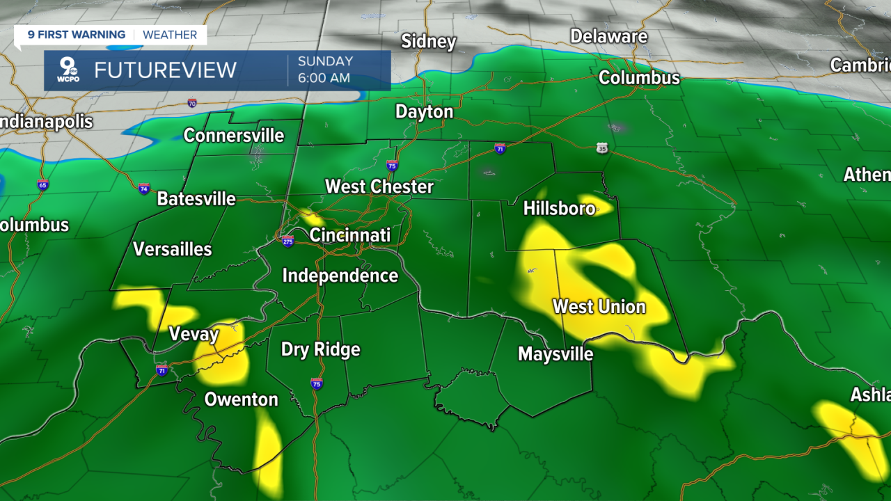
The rain will end from generally west to east. While Cincinnati will likely still be seeing some leftover light rain at noon, parts of southeast Indiana will be drying out. For Greater Cincinnati, we should see the rain end early in the afternoon, and then mid-afternoon in our most eastern cities. Rain totals of 0.5 to 1 inch will be common.
We won't squeeze out too much sunshine in the afternoon, but we still manage to get close to 50 degrees.
For President's Day on Monday, we warm up into the upper 50s with a mix of sunshine and clouds.
Tuesday will be partly cloudy with a high near 60.
The warm-up continues Wednesday with mid 60s, but as a weak cold front arrives, we could see some scattered rain midday with some extra wind.
The cold front only drops us into the low 60s Thursday, keeping temperatures above average. Another system brings a better chance for rain late Thursday into Friday morning.
The weekend looks drier, but we drop into the 40s for highs.
OVERNIGHT
Widespread rain
Low: 40
SUNDAY
Mostly cloudy
Rain through midday
High: 50
SUNDAY NIGHT
Mostly Cloudy
Cool
Low: 35
MONDAY
Partly cloudy
Warmer
High: 57
9 First Warning Weather 24/7 Livestream
==========
- Interactive Radar: Track weather to your doorstep
- Sign up for severe weather email alerts
- Check latest school closings and delays
- WCPO traffic updates
- Metro bus detours and updates (or call the hotline at 513-632-7538)
- Latest power outages from Duke Energy
- Flight cancellations and delays from CVG, other U.S. airports
