

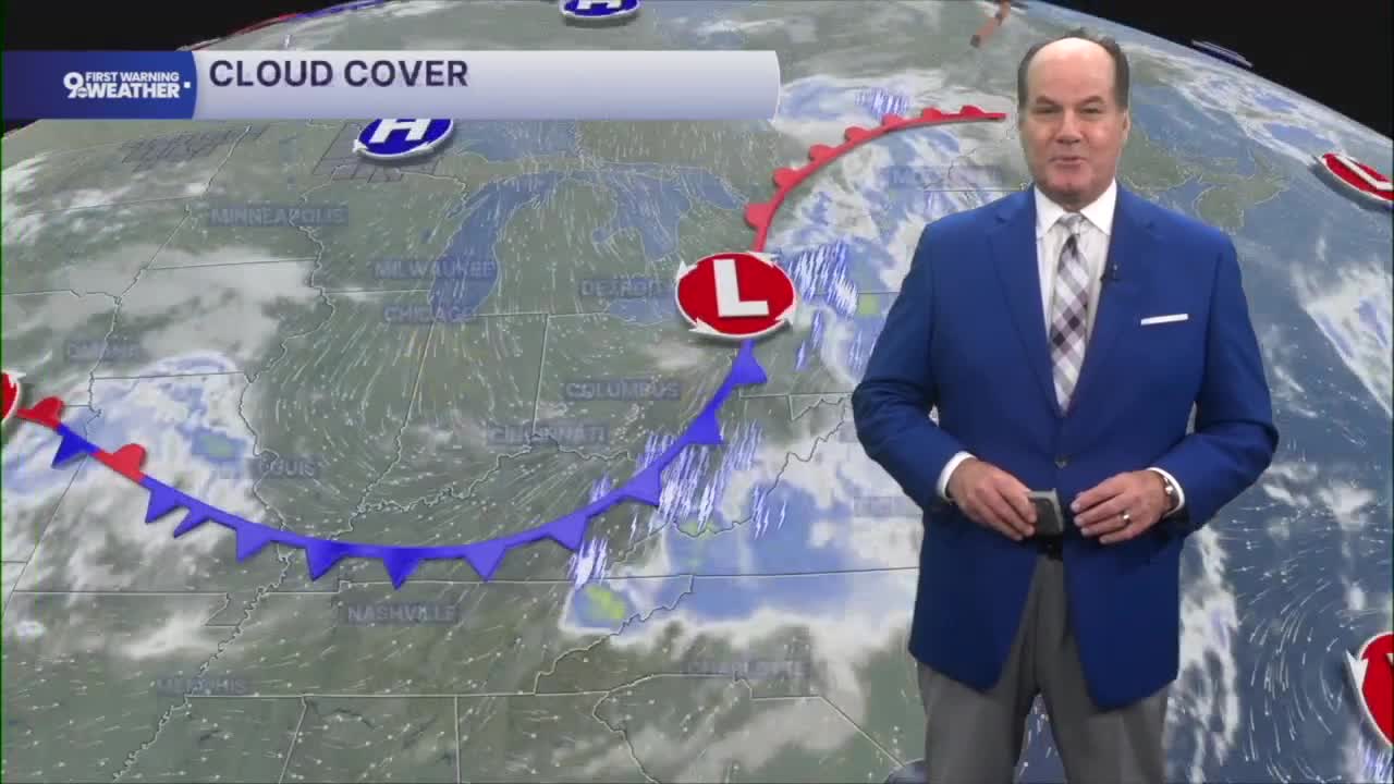


The morning will be mostly clear and comfortably mild, with temperatures dropping into the low to mid 60s as refreshing, drier air settles into the Tri-State behind a cold front. That pleasant weather sticks around through the rest of the workweek as high pressure remains in control.

Expect plenty of sunshine on Wednesday and Thursday with afternoon highs in the low to middle 80s, then a bit more warmth arrives Friday as temperatures climb into the mid to upper 80s under a mix of sun and clouds. Humidity stays relatively comfortable, making for several great days to get outside.

By Friday night, clouds begin to increase as the next weather system approaches. The weekend turns a bit more unsettled as what's known as a "Cut-Off" low sits in the Ohio Valley, so called because it's cut off from the flow and sits in one place and usually triggers showers for a while.
So, it's a chance of showers on Saturday and thunderstorms becoming possible during the afternoon. Scattered showers and thunderstorms remain in the forecast Saturday night and continue into Sunday before rain chances gradually decrease Sunday night. It doesn't look like a complete washout, but if you have outdoor plans this weekend, be prepared for periods of rain and thunderstorms and check back for the latest timing.
OVERNIGHT
Clear
Mild
Low: 65
WEDNESDAY
Sunshine
Pleasant
High: 82
WEDNESDAY NIGHT
Few clouds
Mild again
Low: 62
9 First Warning Weather 24/7 Livestream
==========
- Interactive Radar: Track weather to your doorstep
- Sign up for severe weather email alerts
- Check latest school closings and delays
- WCPO traffic updates
- Metro bus detours and updates (or call the hotline at 513-632-7538)
- Latest power outages from Duke Energy
- Flight cancellations and delays from CVG, other U.S. airports
