


After 15 days of no official rainfall for Cincinnati, we officially received .91" at CVG.

We drop down to the low 50s tonight with partly cloudy skies.
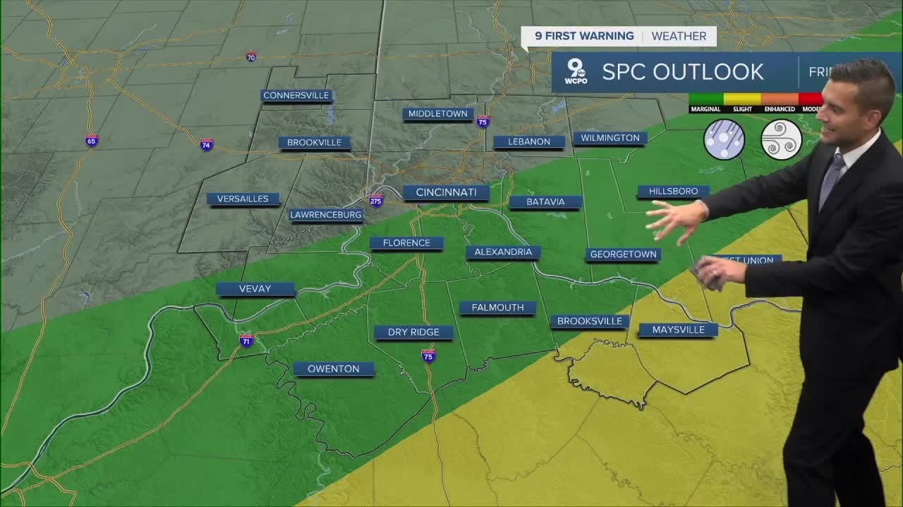
Friday will be warm and windy. Temperatures will jump back to the low 80s tomorrow thanks to a breezy southwest wind at 10 to 20 mph. And there is a chance of rain that we need to add to the forecast. The weather models over the last 36 hours have increased the rain potential and the timing aligns with something so many of us look forward to at the end of the week: Friday night football.
Here's a look at the latest futureview for Friday evening. As you'll notice, scattered showers and isolated storms are possible.

Rain is likely Friday night into Saturday morning. It looks like rain should be around Saturday morning but then fade as we approach the noon hour. Saturday will be mostly cloudy and cooler with a high of only 70 degrees.
THURSDAY
Rain chances until the early afternoon
Then clouds move out, cooler
High: 70
THURSDAY NIGHT
Mostly clear
Pleasant
Low: 52
FRIDAY
Partly cloudy, warm and breezy
Isolated storm chance after 12 p.m.
High: 82
FRIDAY NIGHT
Rain likely
A few stronger storms
Low: 55
9 First Warning Weather 24/7 Livestream
==========
- Interactive Radar: Track weather to your doorstep
- Sign up for severe weather email alerts
- Check latest school closings and delays
- WCPO traffic updates
- Metro bus detours and updates (or call the hotline at 513-632-7538)
- Latest power outages from Duke Energy
- Flight cancellations and delays from CVG, other U.S. airports
