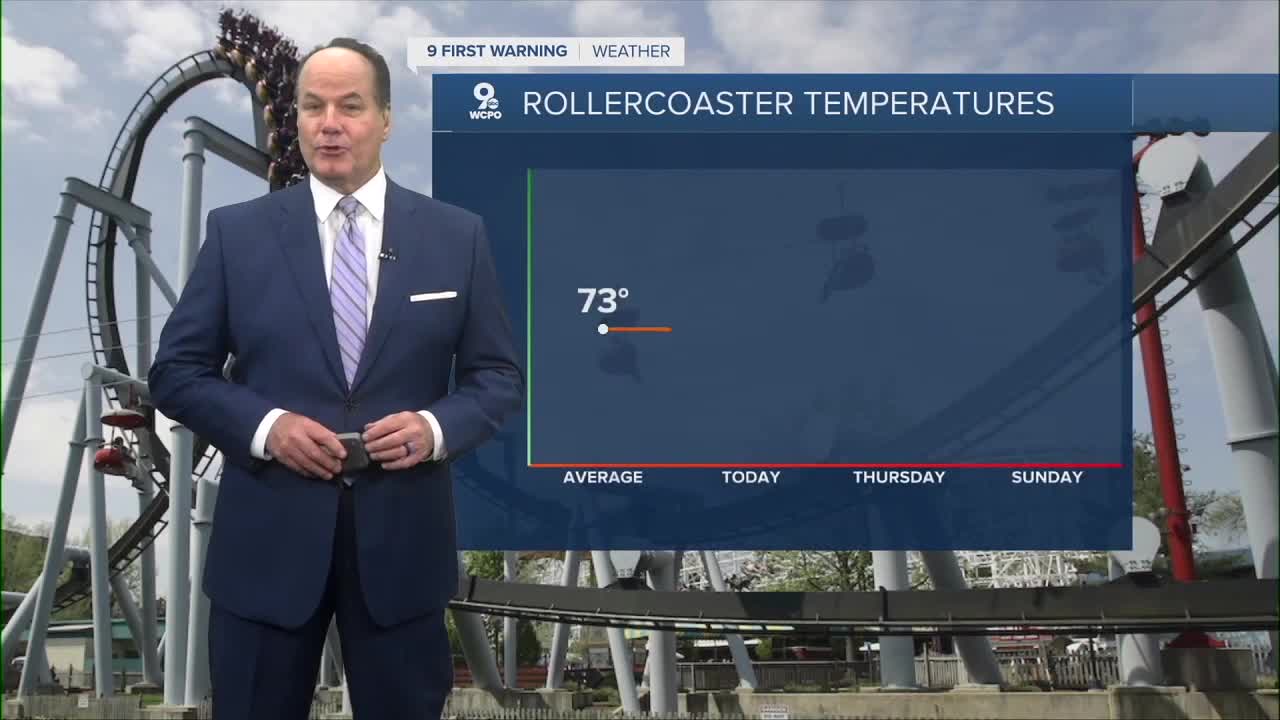


Thursday's forecast will be the coolest of the week as we start in the low 40s for most neighborhoods and will only rise to the low to mid 60s under mostly sunny skies, and we are going to feel Mother Nature's rollercoaster forecast into the weekend.

We are watching a chance of rain for Friday's forecast. Earlier this week, everything looked dry until Saturday, but the extended models started showing spotty shower chances for Friday. But the rainmaker, an area of low pressure, will chiefly bring rain and a few storms around the area on Saturday.

The day doesn't look like a washout, but some outdoor plans could be impacted by rain. Currently, the best chance is from 7 a.m to 4 p.m, but again, spotty in that timeframe.
Scattered showers and storms are again in the forecast on Saturday as temperatures jump to the mid 80s.
OVERNIGHT
Mostly clear by daybreak
Chilly
Low: 43
THURSDAY
Mostly Sunny
Cool and dry
High: 66
THURSDAY NIGHT
Mostly clear
Cool
Low: 46
9 First Warning Weather 24/7 Livestream
==========
- Interactive Radar: Track weather to your doorstep
- Sign up for severe weather email alerts
- Check latest school closings and delays
- WCPO traffic updates
- Metro bus detours and updates (or call the hotline at 513-632-7538)
- Latest power outages from Duke Energy
- Flight cancellations and delays from CVG, other U.S. airports
