


Hi there… let's talk about what's coming your way over the next several days. But first, a quick look at the pollen count, since I know how you feel:

In the morning, bundle up a little more than you might expect for early May. Temperatures are going to drop into the low 40s for most of us, and if you're out in some of the colder, more rural spots, you could actually see lows dip into the upper 30s.
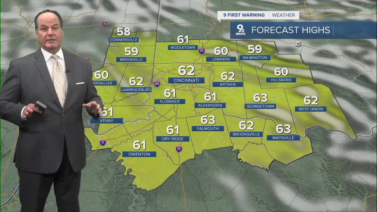
Nevertheless, Thursday actually looks pretty nice. Dry conditions are expected through the day, so no worries there. Enjoy it, because changes are on the way.
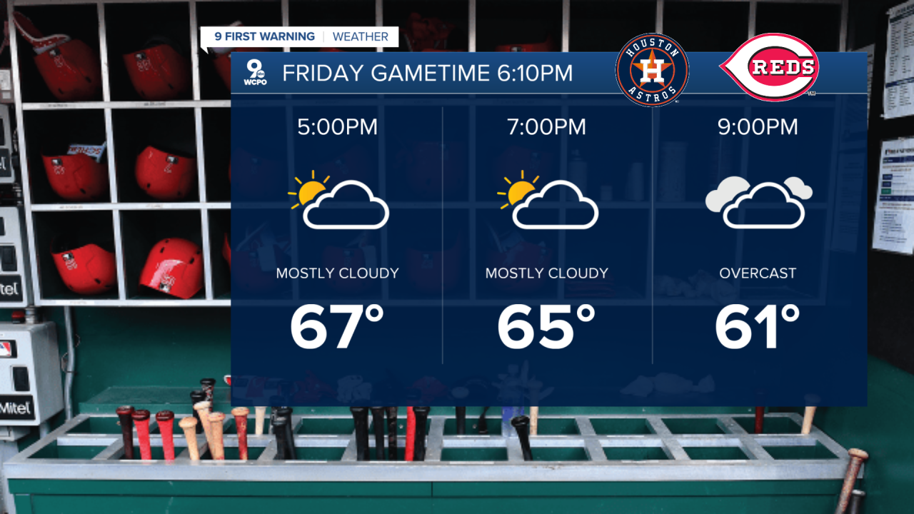
Thursday night into Friday, we're watching another rainmaker move closer to us with a band of rain showers.
Friday itself brings a chance of precipitation late in the day, but by Friday night, that rainfall becomes widespread across the region. Temperatures stay below normal through Friday, so it's going to feel more like early April than May.

Heading into the weekend, that rain lingers into Saturday morning, so keep the umbrella close. Sunday brings yet another weather system moving through, so don't pencil in any big outdoor plans just yet. While the timing of wet weather has waffled, the likelihood of rain still stands. At the moment, the rain front looks to arrive in the afternoon.
Monday looks dry, and temperatures should start creeping back closer to normal as we head toward the middle of next week.
OVERNIGHT
Clearing by daybreak
Low: 41
THURSDAY
Mostly Sunny
Few clouds
High: 62
THURSDAY NIGHT
Mostly clear
Chilly again
Low: 45
9 First Warning Weather 24/7 Livestream
==========
- Interactive Radar: Track weather to your doorstep
- Sign up for severe weather email alerts
- Check latest school closings and delays
- WCPO traffic updates
- Metro bus detours and updates (or call the hotline at 513-632-7538)
- Latest power outages from Duke Energy
- Flight cancellations and delays from CVG, other U.S. airports
