


The humidity spent Friday falling, and that will allow us to get cooler overnight and into Saturday morning under mostly clear skies. The day will start in the low 60s, but there could also be some foggy areas.
Saturday morning brings a lot of sunshine, but we'll start to see more clouds in the afternoon. The humidity stays lower, but it will be warmer, with mid 80s. Showers and storms from the central U.S. will move towards the Tri-State in the evening, but most of them should fall apart before they get here. There will still be some scattered pockets of rain in the evening and early night, but a lot of us likely stay dry.

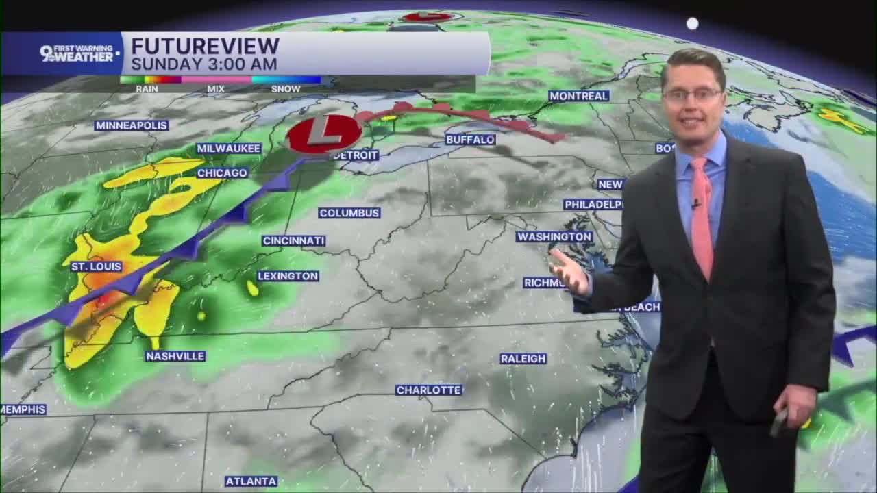
The humidity spikes higher again on Sunday. A cold front will then trigger a number of scattered showers and storms through the day. While there should be more rain around compared to Saturday, there will still be some cities that avoid the rain. Highs will be in the upper 70s, and any leftover rain should end at night.
Behind the cold front, the humidity drops again for the first half of the workweek. Monday will be mostly cloudy with highs in the low 70s. Tuesday brings more sunshine with mid 70s.

Cincinnati could get back to 80 degrees Wednesday with more clouds than sunshine.
Another cold front will bring another chance for rain Thursday, but it likely won't impact temperatures. We stay near 80 into the weekend.
OVERNIGHT
Mostly clear
Foggy areas
Low: 60
SATURDAY
Morning sun
Spotty p.m. rain
Lower humidity
High: 84
SATURDAY NIGHT
Mostly cloudy
Spotty rain early
Low: 66
SUNDAY
Mostly cloudy
Scattered rain/storms
Humid
High: 77
9 First Warning Weather 24/7 Livestream
==========
- Interactive Radar: Track weather to your doorstep
- Sign up for severe weather email alerts
- Check latest school closings and delays
- WCPO traffic updates
- Metro bus detours and updates (or call the hotline at 513-632-7538)
- Latest power outages from Duke Energy
- Flight cancellations and delays from CVG, other U.S. airports
