

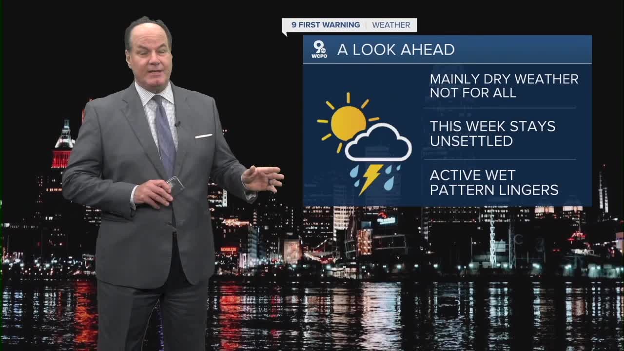


Here's the deal for your week ahead, it’s more of a summer pattern than Spring! In a nutshell, it’s mainly more clouds and dry weather for most, until we get to Thursday.
Morning lows will be warm, and the conditions will be rather humid. Daybreak temps start in the mid-60s... that's our usual afternoon high at this time of year. In fact, we will be in record territory on Tuesday afternoon
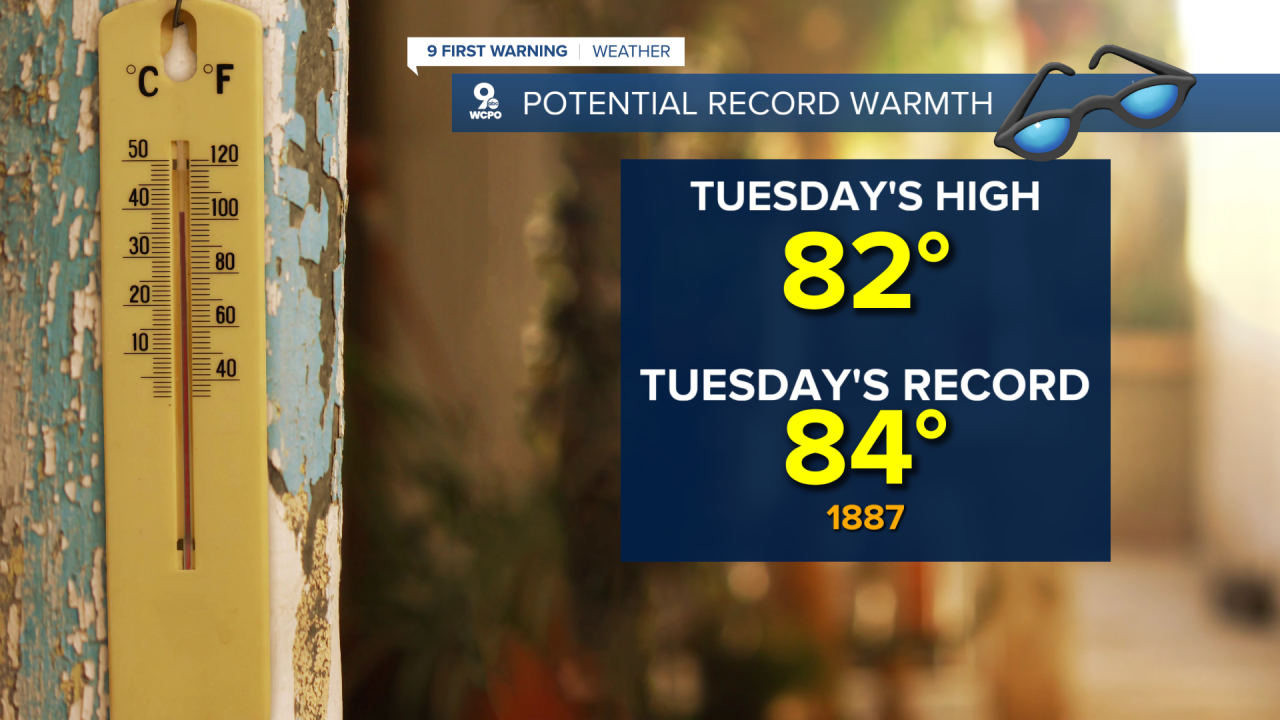
A high-pressure system sitting off the Atlantic coast is funneling deep southwesterly flow straight into the area, which is why highs could flirt with the record of 84 set in 1887.

A weak disturbance keeps a low-end storm chance in the mix Tuesday afternoon, but mostly north of Cincinnati in parts of SE Indiana, Butler, Warren, and Clinton counties.
On Wednesday, it's the same thing. Then, a weak cold front sweeps through on Thursday, and with deeper moisture, we could see storms produce locally heavy rainfall.
Friday through Sunday stays active as a larger system keeps shower and storm chances in the forecast right through the weekend. A cold front will swing through the area on Saturday afternoon/evening, and this will trigger heavy rain, a few thunderstorms, and gusty winds. Following that cold front, our temperatures will return to a more seasonal feel in the mid 60s.
OVERNIGHT
Partly cloudy
Staying warm
Low: 65
TUESDAY
Mix Clouds & Sun
Chance Isolated shower
High: 82
TUESDAY NIGHT
Fair skies
Warm again
Low: 66
9 First Warning Weather 24/7 Livestream
==========
- Interactive Radar: Track weather to your doorstep
- Sign up for severe weather email alerts
- Check latest school closings and delays
- WCPO traffic updates
- Metro bus detours and updates (or call the hotline at 513-632-7538)
- Latest power outages from Duke Energy
- Flight cancellations and delays from CVG, other U.S. airports
