


The heat returns Monday with highs near 90 before better storm chances return on Tuesday and Wednesday.
Monday will be another hot and humid day with highs expected to top out just shy of 90. With sunny skies and humidity still an issue, it will still be feeling like the low 90s, though.
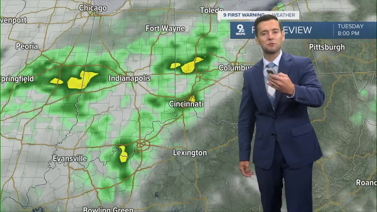
Tuesday starts off dry and it will be hot as well. Good news is, rain moves in late in the day and that's the start of our big weather changer.
Rain Tuesday night an Wednesday bring good chances for widespread rain and then much cooler air. We look to be around or below average as we head into the weekend.
TONIGHT
Partly cloudy
Mild
Low: 70
MONDAY
Mostly sunny
Hot and dry
High: 89
MONDAY NIGHT
Mostly clear
Mild
Low: 69
9 First Warning Weather 24/7 Livestream
==========
- Interactive Radar: Track weather to your doorstep
- Sign up for severe weather email alerts
- Check latest school closings and delays
- WCPO traffic updates
- Metro bus detours and updates (or call the hotline at 513-632-7538)
- Latest power outages from Duke Energy
- Flight cancellations and delays from CVG, other U.S. airports
