


The severe weather threat has ended, but showers and storms will continue in parts of the Tri-State overnight. Don't be surprised if you get woken up by a few rumbles of thunder. Sunday could start with some leftover rain, and it will be mild with low 60s.
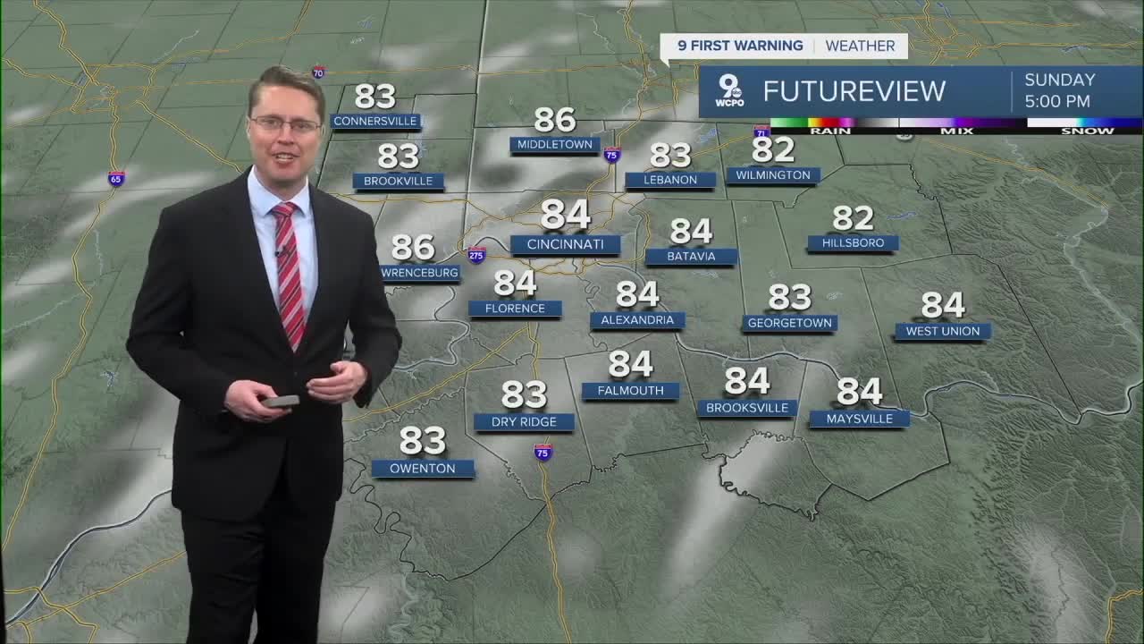
We start to see some sunshine Sunday afternoon, and warmer weather will be moving into the region. This pushes us into the mid 80s with more humidity.
Early next week, we will keep the warm, humid conditions generated by a giant high-pressure system sitting off the coast. Monday will be in the upper 80s with a mix of sunshine and clouds. A few scattered showers can't be ruled out late Monday, but most of the day looks dry.
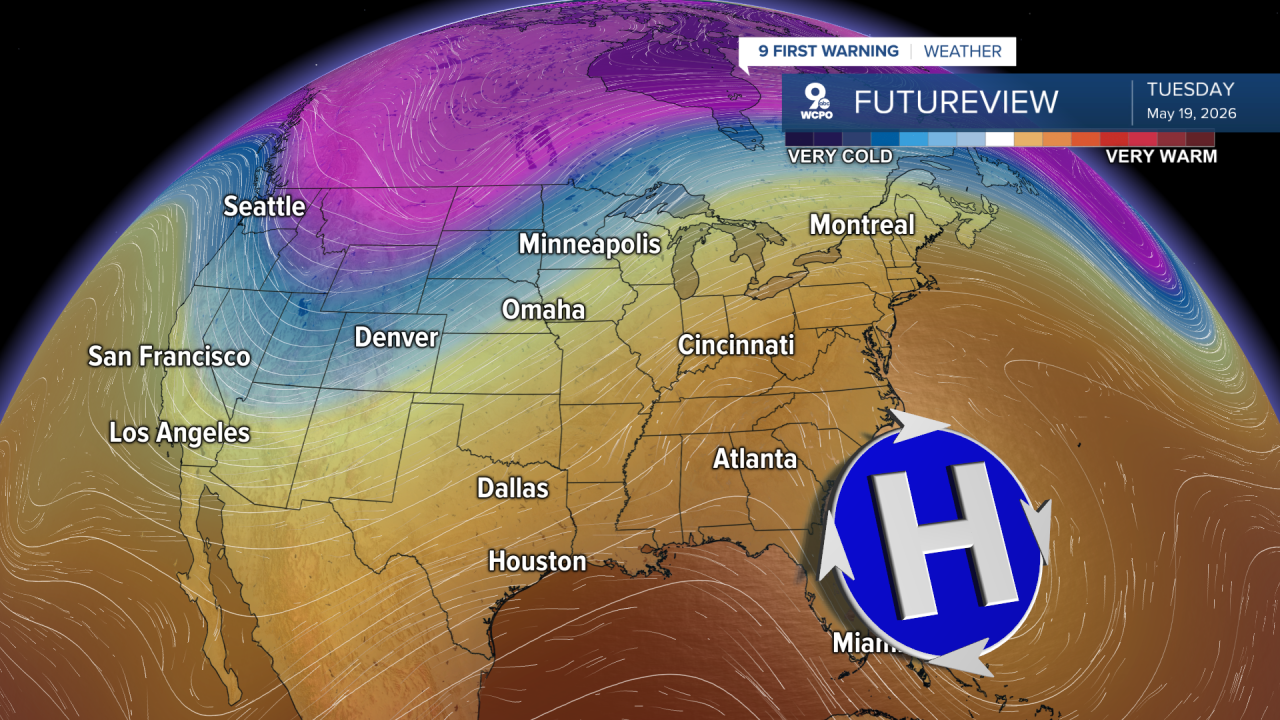
Tuesday will be partly cloudy with mid-80s. Late Tuesday, showers and storms ahead of our next cold front will start to push into the Tri-State. Rain and storms will be likely overnight, followed by a few leftover showers early Wednesday.
We start to cool off Wednesday afternoon with mid-70s, then drop into the upper 60s for Thursday afternoon.
The 70s will return next weekend, but rain will also be possible late Saturday into Sunday.
OVERNIGHT
Cloudy
Showers and storms
Low: 62
SUNDAY
Rain early
Clearing skies
High: 84
SUNDAY NIGHT
Partly cloudy
Mild
Low: 67
MONDAY
Partly cloudy
Warmer
High: 88
9 First Warning Weather 24/7 Livestream
==========
- Interactive Radar: Track weather to your doorstep
- Sign up for severe weather email alerts
- Check latest school closings and delays
- WCPO traffic updates
- Metro bus detours and updates (or call the hotline at 513-632-7538)
- Latest power outages from Duke Energy
- Flight cancellations and delays from CVG, other U.S. airports
