


It's mostly to partly cloudy skies for us as we have our last night in the deep freeze.
Temperatures will be back close to the 40s for the first time in 20 days. Sunny skies and calm winds should make it feel even nicer out.

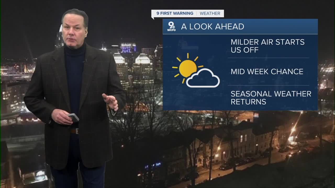
Monday will be noticeably milder with highs near 39 and a nighttime drop into the mid-20s. That moderation continues Tuesday with highs rising into the upper 40s under mostly cloudy skies and lows only falling to near freezing. By mid-week, temperatures will trend back downward as highs on Wednesday cool to the upper 30s with brisk winds and a cold overnight again. Thursday and Friday will remain on the chilly side with mostly cloudy skies keeping highs in the 30s and lows again in the low to mid-20s.
The end of the week may bring a more dynamic pattern as Saturday holds potential for mixed precipitation; sleet and freezing rain are possible in the morning with a transition to plain rain in the afternoon as temperatures climb into the low 40s. Wet conditions combined with cold surfaces could make for slick spots early in the day. Overall, a mix of cold highs and lows dominates with only a brief warm‐up mid-week before another cold push returns.
TONIGHT
Partly cloudy
Still Chilly
Low: 14
TOMORROW
More sunshine
Much Warmer
High: 39
TOMORROW NIGHT
Partly cloudy
Warmer
Low: 27
9 First Warning Weather 24/7 Livestream
==========
- Interactive Radar: Track weather to your doorstep
- Sign up for severe weather email alerts
- Check latest school closings and delays
- WCPO traffic updates
- Metro bus detours and updates (or call the hotline at 513-632-7538)
- Latest power outages from Duke Energy
- Flight cancellations and delays from CVG, other U.S. airports
