


Winter officially began Sunday, and it just happened to be a colder day across the Tri-State, but it won't last long.
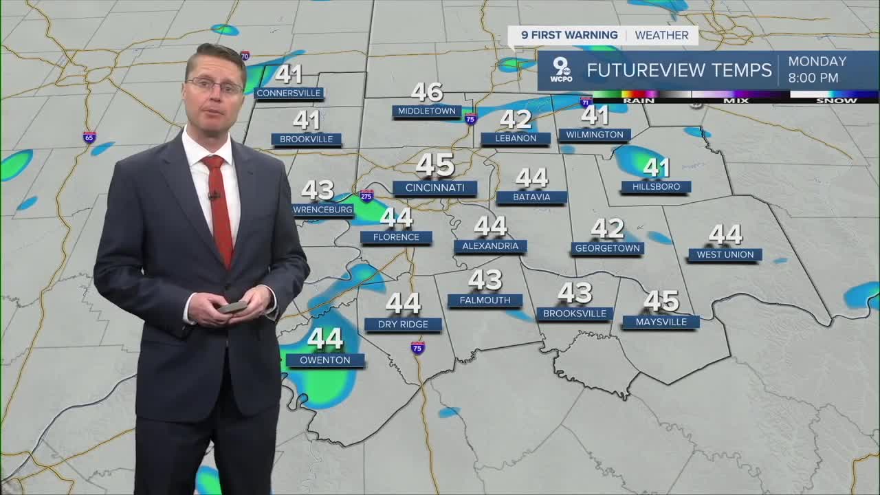
Heading into Monday morning, Cincinnati will drop down into the mid 20s, making for a cold start to the day. After enjoying some morning sun, clouds take over in the afternoon. We also start to warm back up with highs in the mid 40s.
We're likely dry for the evening commute, but after that, scattered pockets of light rain will start to move in. The hit and miss light rain will continue overnight and ends early Tuesday morning.

Tuesday afternoon will be mostly cloudy and warmer with mid 50s.
The mid 50s continue Wednesday afternoon with a lot of clouds for Christmas Eve. If you're traveling late Wednesday, you'll likely find some wet roads as another round of scattered rain moves into the Tri-State.
While most of the rain will be light, it will continue for many of us into Christmas morning. It's possible a few of these light showers could even stay with us in the second half of the day. There will be plenty of dry time, but we stay mostly cloudy. Highs will be in the low 60s.

Our record high for Christmas was set just a few years ago in 2021 at 69°. While we won't hit that this year, we could potentially end up in the top 10 warmest Christmas holidays.
We've bumped up the temperatures for Friday! It looks like highs could reach the mid 60s now after the potential for some light rain in the morning.
Temperatures will start to fall through the weekend behind a cold front. As the colder air moves in, it could kick off a couple isolated showers Saturday. There's a little better chance for rain Sunday morning. Saturday will still be above average with mid 50s, but we drop into the low 40s for Sunday.
The colder air just keeps coming early next week, dropping us down into the 30s for next Monday and Tuesday.
OVERNIGHT
Mostly clear
Cold
Low: 25
MONDAY
Mostly cloudy
Light rain late
High: 46
MONDAY NIGHT
Mostly cloudy
Scattered rain
Low: 41
TUESDAY
Mostly cloudy
Light rain early
High: 55
CHRISTMAS EVE
Mostly cloudy
Scattered rain late
High: 56
9 First Warning Weather 24/7 Livestream
==========
- Interactive Radar: Track weather to your doorstep
- Sign up for severe weather email alerts
- Check latest school closings and delays
- WCPO traffic updates
- Metro bus detours and updates (or call the hotline at 513-632-7538)
- Latest power outages from Duke Energy
- Flight cancellations and delays from CVG, other U.S. airports
