

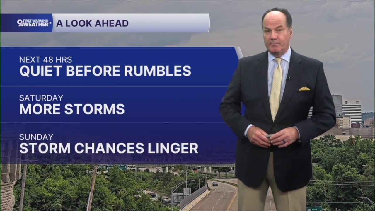


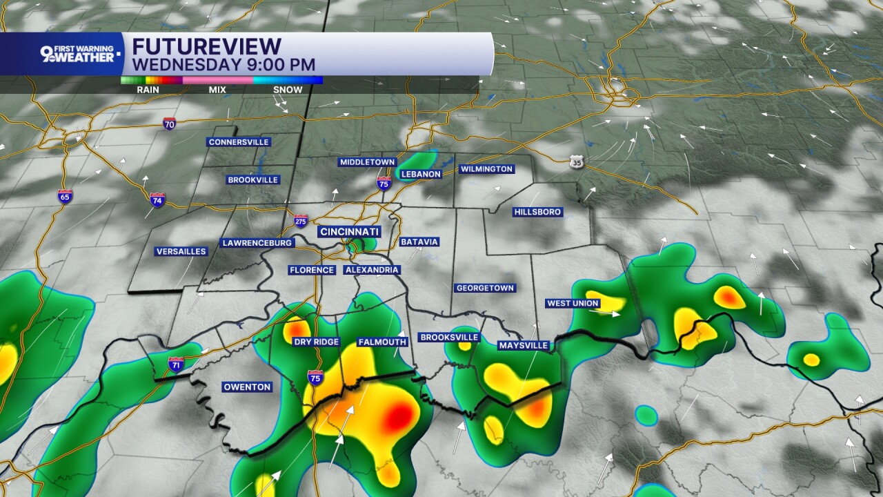
Overnight stays quiet across the Tri-State, but don’t be surprised if a few spotty showers or an isolated thunderstorm develop overnight. Most communities will remain dry, with temperatures settling into the lower 70s. On Thursday, we’ll heat back up into the upper 80s under a good deal of sunshine.
The daytime warmth may be enough to spark a few isolated thunderstorms, but many neighborhoods won’t see any rain. The better opportunity for more widespread showers and thunderstorms holds off until Thursday night. For the late night, the Storm Prediction Center says there is a “Marginal Risk” of a severe storm.
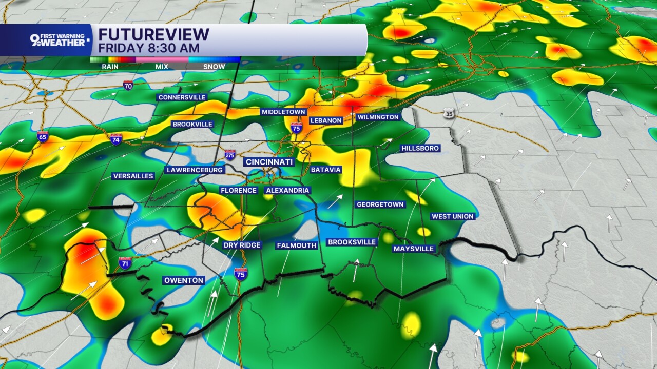
Friday is shaping up to be the wettest day of the forecast. Periods of showers and thunderstorms are expected through much of the day, and some locations could receive around a half inch of rain, with locally heavier amounts up to 1” or more where storms repeatedly track over the same area. The overall severe weather threat remains low, but heavy downpours will be capable of producing localized flooding, especially in low-lying and poor drainage areas.
The unsettled pattern doesn’t end there. A stationary front will linger near the Tri-State through the weekend, keeping the door open for additional rounds of showers and thunderstorms. Saturday brings another good chance for rain, especially during the afternoon and evening, while Sunday still carries an isolated chance for showers and thunderstorms, although there will also be dry periods mixed in. The weekend will not be an all-day washout either day, but you’ll want to keep an eye on the forecast if you have outdoor plans.
Despite the unsettled weather, temperatures remain seasonably warm with highs in the mid to upper 80s through the weekend and overnight lows in the upper 60s to lower 70s. Rainfall amounts will vary quite a bit from one location to another, but where storms repeatedly move over the same area, localized flooding will remain the primary concern.
OVERNIGHT
Partly cloudy
Warm
Low: 68
THURSDAY
Partly cloudy
Chance showers or storms
High: 87
THURSDAY NIGHT
Mostly cloudy
Rain and storm develop late near midnight
Low: 70
9 First Warning Weather 24/7 Livestream
==========
- Interactive Radar: Track weather to your doorstep
- Sign up for severe weather email alerts
- Check latest school closings and delays
- WCPO traffic updates
- Metro bus detours and updates (or call the hotline at 513-632-7538)
- Latest power outages from Duke Energy
- Flight cancellations and delays from CVG, other U.S. airports
