


Tonight we dip to the mid/upper 50s. We will see a lot of sunshine to start and that warms us to the low 80s in the afternoon. Clouds could build later in the afternoon and give us some quick rain chances but the majority, if not all of our chances, stay south.

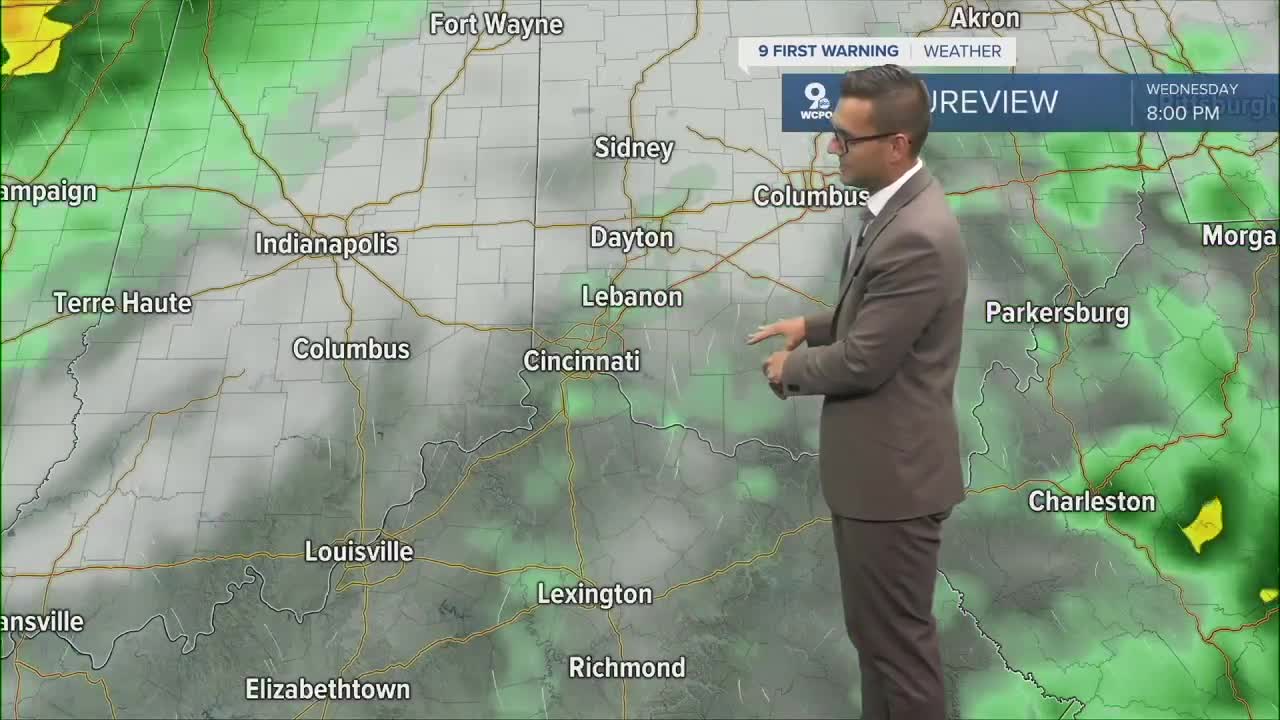
There is a cold front headed our way this week but it doesn't come into play until Wednesday night and Thursday. This cold front will bring in scattered showers and storms for that time period. Temperatures will also drop back to around 70 for a high on Thursday due to the rain and clouds.

Looking for late summer heat? The forecast is still trending "below normal" for the next 6 to 10 days per the Climate Prediction Center, and we are seeing evidence of that in our extended forecast, too. But the outlook for 2 weeks out starts to get a little warmer with temperatures returning to "seasonal" levels. This would mean that days with highs in the low to mid 80s are still coming our way, but it will at least be 2 weeks away.
TONIGHT
Clear sky
Mild
Low: 58
TUESDAY
Mostly sunny
Warm and dry
High: 80
TUESDAY NIGHT
Few clouds
Mild
Low: 60
9 First Warning Weather 24/7 Livestream
==========
- Interactive Radar: Track weather to your doorstep
- Sign up for severe weather email alerts
- Check latest school closings and delays
- WCPO traffic updates
- Metro bus detours and updates (or call the hotline at 513-632-7538)
- Latest power outages from Duke Energy
- Flight cancellations and delays from CVG, other U.S. airports
