

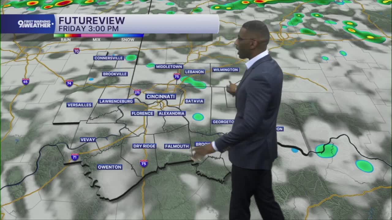


Showers are moving in overnight into early Friday morning.
Overnight showers will be capable of producing downpours. The Storm Prediction Center has placed the Tri-State under a Marginal Risk for severe weather, meaning a few storms could become strong enough to produce damaging wind gusts.
We’ll keep scattered showers and storms around through the first half of Friday. Morning temperatures will start in the low 70s before climbing into the mid-80s by the afternoon.

Rain chances begin to taper off later Friday, dropping to around 30%. That doesn’t mean everyone stays completely dry, but there should be more dry time than wet time during the second half of the day.
THURSDAY NIGHT
Scattered showers
Storms, a few stronger storms
Low: 71
FRIDAY
Scattered morning storms
Isolated afternoon showers
High: 84
FRIDAY NIGHT
Scattered showers
A few storms
Low: 68
SATURDAY
Rain and storms
Flood Alerts
High: 84
9 First Warning Weather 24/7 Livestream
==========
- Interactive Radar: Track weather to your doorstep
- Sign up for severe weather email alerts
- Check latest school closings and delays
- WCPO traffic updates
- Metro bus detours and updates (or call the hotline at 513-632-7538)
- Latest power outages from Duke Energy
- Flight cancellations and delays from CVG, other U.S. airports
