

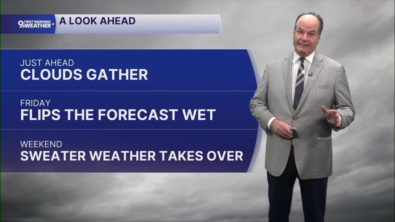


Our weather begins changing quickly across the Tri-State as showers spread across the entire area overnight into Friday. Temperatures only fall into the upper 60s ahead of the front in the morning. Friday is the transition day, with showers and some thunderstorms during the morning followed by additional showers into the afternoon.
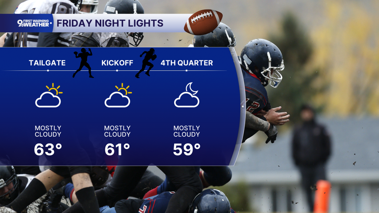
At times, the wet weather will intensify enough to produce brief periods of heavy rain, with widespread rainfall expected before precipitation ends Friday evening. Temperatures will actually fall during the day, dropping into the mid-60s by late afternoon as the cold front pushes south and much cooler air pours into the area. The rain appears to subside in time for Friday night football. So, Friday night dries out and turns much cooler, with skies clearing and temperatures falling into the low 50s. That sets up a completely different weekend.
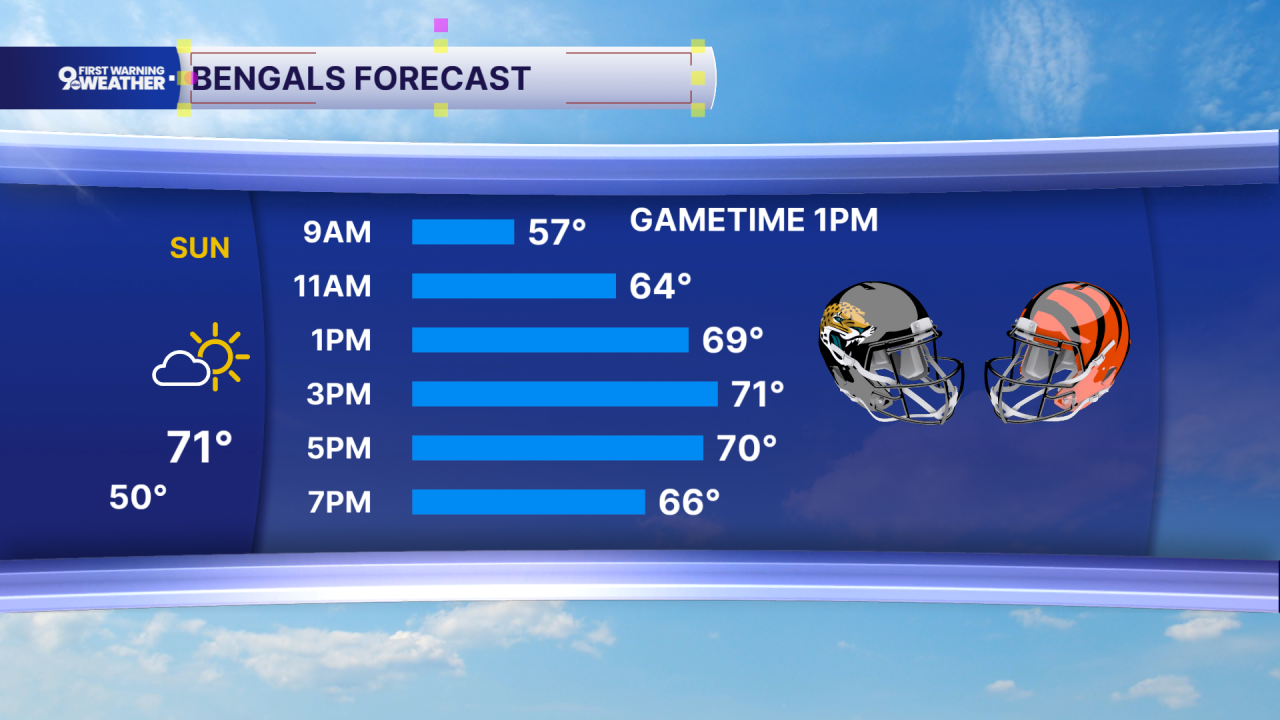
Saturday will be sunny and cool, with highs only in the upper 60s as northeast winds continue bringing cooler, drier air into the Tri-State. Saturday night falls to around 50, followed by mostly sunny skies Sunday and highs in the low 70s.
The cooler pattern continues Monday with sunshine and highs in the upper 60s. Monday night could become the coldest night of this stretch, with temperatures falling into the low-to-mid 40s and it’s possible we could see the potential for some patchy frost.
OVERNIGHT
Mostly cloudy
Isolated showers
Low: 67
FRIDAY
Rain, heavy at times
Chance Storms
High: 70
FRIDAY NIGHT
Chance showers early
Then Mostly clear
Cooler
Low: 52
9 First Warning Weather 24/7 Livestream
==========
- Interactive Radar: Track weather to your doorstep
- Sign up for severe weather email alerts
- Check latest school closings and delays
- WCPO traffic updates
- Metro bus detours and updates (or call the hotline at 513-632-7538)
- Latest power outages from Duke Energy
- Flight cancellations and delays from CVG, other U.S. airports
