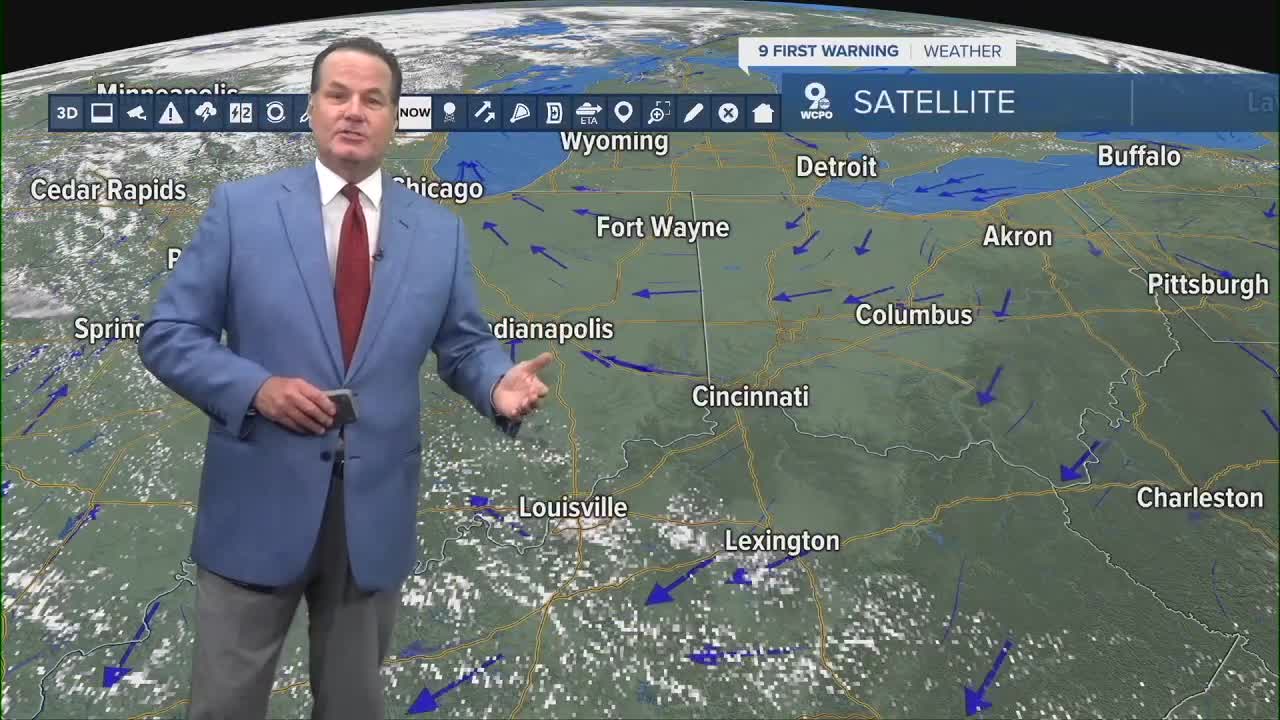
The best advice that I can give you is to get up early and enjoy the morning because this low-humidity weather is coming to an end.
In the meantime, high pressure to our north will keep the air very dry and comfortable before shifting and bringing in the warm, moist, and nasty air beginning on Thursday.

We'll start to feel the change during our Wednesday afternoon as the temps climb and so does the humidity. We could see a heat advisory later this week as the heat index will jump to the triple digits.
By Friday, we will also add pop-up showers and storms to the mix, and we'll likely see more scattered storms into the weekend.
OVERNIGHT
Mostly clear
Pleasant again
Low: 65
WEDNESDAY
Mostly sunny
A bit more humid
High: 90
WEDNESDAY NIGHT
Few clouds
Dry
Low: 71
9 First Warning Weather 24/7 Livestream
==========
- Interactive Radar: Track weather to your doorstep
- Sign up for severe weather email alerts
- Check latest school closings and delays
- WCPO traffic updates
- Metro bus detours and updates (or call the hotline at 513-632-7538)
- Latest power outages from Duke Energy
- Flight cancellations and delays from CVG, other U.S. airports


