


Expect partly cloudy skies with temperatures dipping into the mid-teens overnight. Lighter winds will ease a bit, as we are priming for a significant winter system later in the forecast period.
Friday: A cold day with mostly sunny skies and highs only in the low 20s. Northeast winds will keep it feeling raw, especially in the afternoon. It’ll feel like single digits or teens all day. Friday night will be mostly cloudy with lows near the single digits and wind chill values potentially below zero — a reminder that arctic air is in place ahead of the weekend storm.
Saturday: Snow moves into the Tri-State area by late morning into the afternoon. Snowfall will intensify through the late afternoon and into the evening. A Winter Storm Watch is out for heavy snow is expected across the region from Saturday overnight into Sunday.
Snow totals: I feel the 6”-10” snow totals we revealed Thursday are still good now. As for Saturday, we’ll only see light snow and most of the day will be decent until the evening when we could see 1”-3” of snow by midnight.
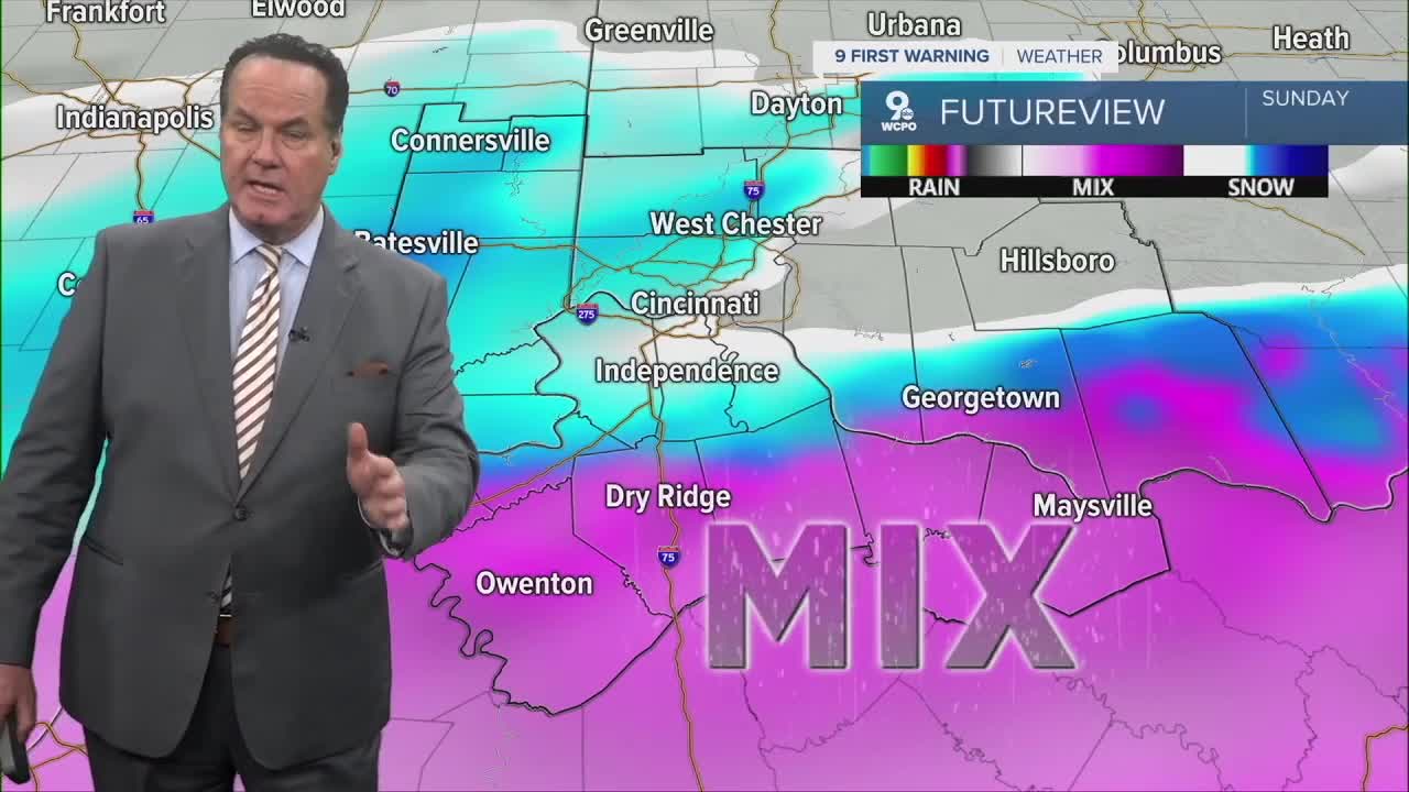
Sunday: Snow continues through much of the day, but there’s an increasing **possibility of a wintry mix (sleet and freezing rain) developing later Sunday as slightly warmer air aloft moves in. If this occurs, it could cut down overall snow totals where sleet/freezing rain is present, especially closer to the Ohio River and through Northern Kentucky.
Overall impacts: Travel will be challenging, at best, throughout the weekend and will likely be impassable in some spots. Prepare for slippery conditions and slow travel by Saturday night and likely staying off the roads on Sunday.
TONIGHT
Mostly Clear
Colder
Low: 16
FRIDAY
Mostly Sunny
Colder again
High: 21
FRIDAY NIGHT
Clouding up
Low: 6
9 First Warning Weather 24/7 Livestream
==========
- Interactive Radar: Track weather to your doorstep
- Sign up for severe weather email alerts
- Check latest school closings and delays
- WCPO traffic updates
- Metro bus detours and updates (or call the hotline at 513-632-7538)
- Latest power outages from Duke Energy
- Flight cancellations and delays from CVG, other U.S. airports
