


Just days away from the start of fall, next Monday, summer is still holding on strong throughout this entire week.
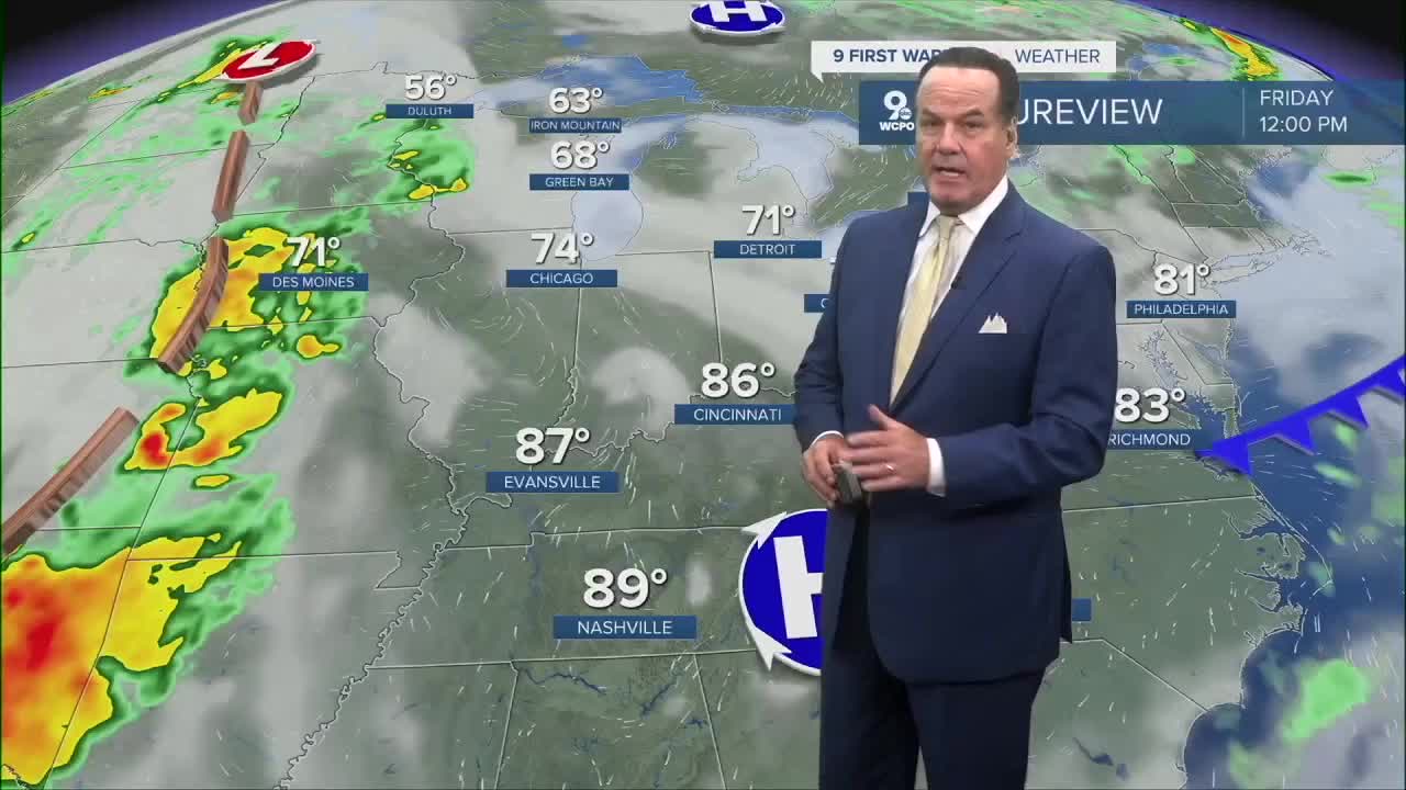
A few clouds today, but sunshine will prevail and temperatures will warm well into the 80s. Daytime highs have topped out in the upper 80s. Dew points are still in the mid-50s, so it doesn't feel sticky outside.
You can hit repeat on this forecast for Wednesday, Thursday, and Friday. On average, temperatures should be near 79 for this time of year. However, highs this week are running some 10 degrees above average.

And no, there are no solid rain chances in sight for our area in the coming days.
The first indications of precipitation in the longer rain weather models don't appear until late in the weekend or even into early next week. An area of low pressure will be influencing the Ohio Valley and Midwest, but it's hard to say how much rain we'll actually get with this system.
Currently, rainfall chances are running at 20-30%. Undoubtedly, the drought conditions in the area will continue to worsen.
OVERNIGHT
Few clouds
Mild
Low: 61
WEDNESDAY
Mostly sunny
High: 87
WEDNESDAY NIGHT
Few clouds
Mild
Low: 60
9 First Warning Weather 24/7 Livestream
==========
- Interactive Radar: Track weather to your doorstep
- Sign up for severe weather email alerts
- Check latest school closings and delays
- WCPO traffic updates
- Metro bus detours and updates (or call the hotline at 513-632-7538)
- Latest power outages from Duke Energy
- Flight cancellations and delays from CVG, other U.S. airports
