



It's another day of sunshine here in the Tri-State and unseasonably warm temperatures are back again too.
We'll start our Tuesday forecast with temperatures in the mid to low 60s as we head out the door. The sky is clear. The sky will be sunny throughout the day as winds come in from the southwest at 5 to 10 mph. This will help push temperatures to around 86 degrees. Today's record high is 88 degrees, set back in 1928.
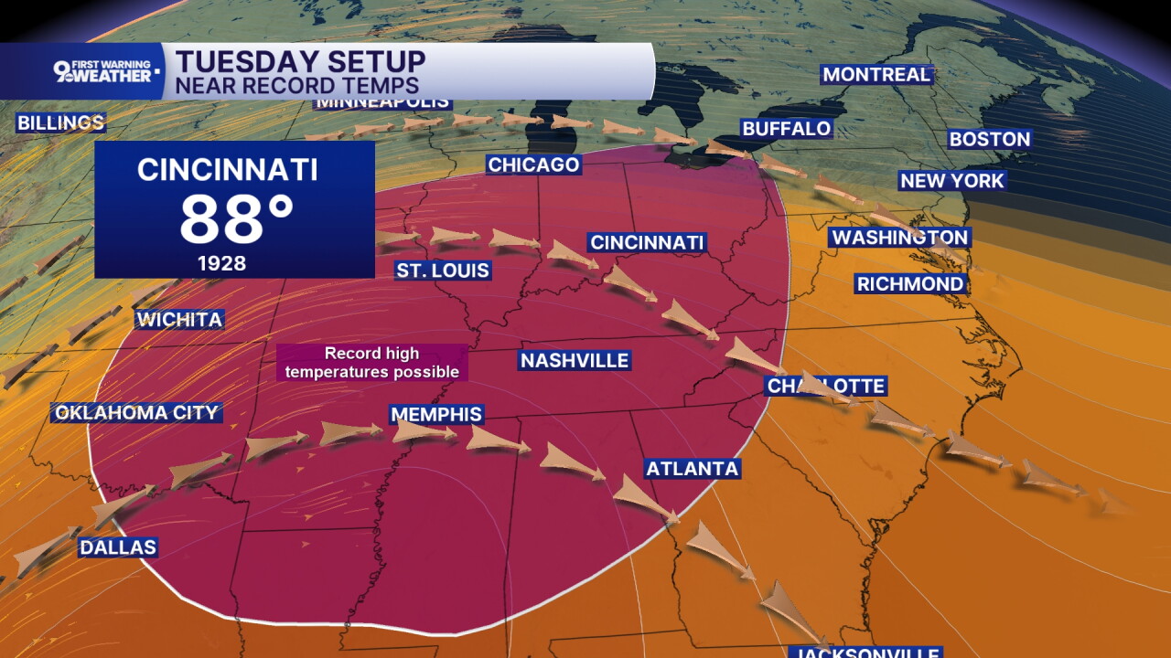
The sky remains mostly clear tonight with another warm overnight low of 67.
The story Wednesday is the return of showers and storms. We should start the day dry as clouds move into the area. By noon, isolated showers and storms begin and then scattered showers and storm chances will be around for the rest of the afternoon. Temperatures warm to around 80 degrees.
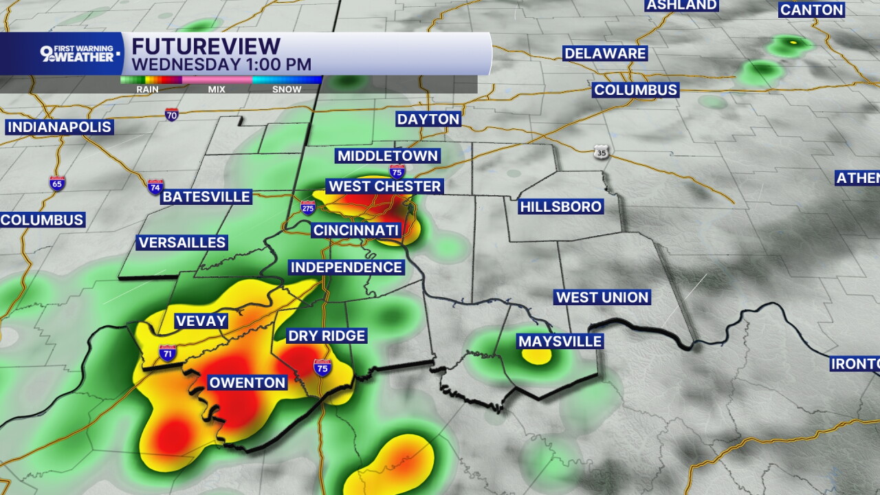
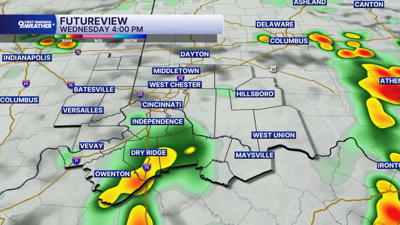
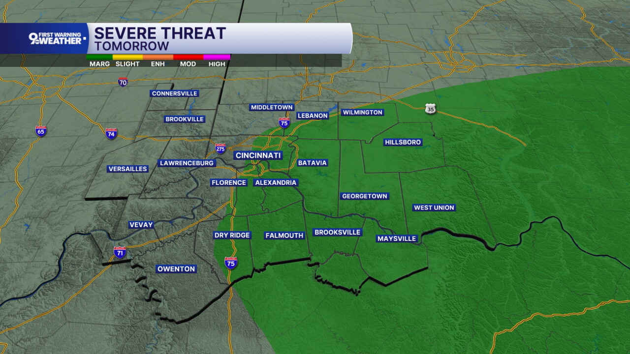
There's also a small risk for severe storms on Wednesday. The SPC has included some of our area in a "marginal risk" for severe storms. Damaging wind gusts would be the only severe weather concern.
Additional rounds of showers and storms will pass on Thursday, but it shouldn't have a huge impact on the day. It's more of an isolated chance in the afternoon. Otherwise, the sky will be mostly cloudy with a high of 73 degrees.
Another push of showers will move through the Tri-State Friday morning as a cold front passes through the Ohio Valley. This will lead to falling temperatures during the day and a much cooler weekend forecast.
MORNING RUSH
Clear sky
Mild
Low: 63
TUESDAY
Sunshine
Warmer
High: 86
TUESDAY NIGHT
Mostly clear
Warm
Low: 67
WEDNESDAY
Scattered showers
Isolated storms
High: 80
WEDNESDAY NIGHT
Isolated showers
Mostly cloudy
Low: 64
9 First Warning Weather 24/7 Livestream
==========
- Interactive Radar: Track weather to your doorstep
- Sign up for severe weather email alerts
- Check latest school closings and delays
- WCPO traffic updates
- Metro bus detours and updates (or call the hotline at 513-632-7538)
- Latest power outages from Duke Energy
- Flight cancellations and delays from CVG, other U.S. airports
