


Into the overnight, we will see a few more clouds push in ahead of our next system. Temperatures by daybreak will be slightly warmer than normal, but still a comfortable 63°.
A cold front will trigger scattered showers for Tuesday and sweep in more cooler, drier air as well. The chance opens up around 7 a.m., but it looks more likely that it will be around 9 a.m. to 12 p.m. that we see the bulk of the rain.
This will be our first widespread soaking our area has got in a while. In fact, in the month of September Cincinnati has not recorded any measurable precipitation. This won’t be a lot of rain but most of the area could get up to .25” by the time we completely dry out Wednesday morning. The last day with more than a tenth (0.1") of an inch of rain was back on August 26 when we saw 0.17"

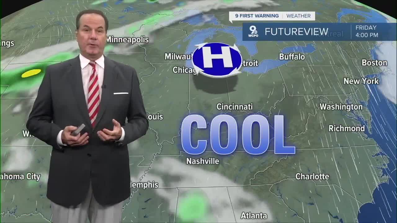
Once the rain moves out Wednesday, we'll see temperatures stay in the low to mid 70s for the rest of the week. We should see plenty of sunshine as well with a beautiful Fall-like feel through the the weekend. Highs for the week are as such. Wednesday: 74°, Thursday: 74°, Friday: 77°.
The weekend looks great as well, but we have a slight chance at a shower on Sunday, but right now that doesn't look too likely.
TONIGHT
Increasing clouds
A bit warmer
Low: 63
TUESDAY
Scattered showers
A bit cooler
High: 74
TUESDAY NIGHT
A few sprinkles
Cooling off
Low: 53
9 First Warning Weather 24/7 Livestream
==========
- Interactive Radar: Track weather to your doorstep
- Sign up for severe weather email alerts
- Check latest school closings and delays
- WCPO traffic updates
- Metro bus detours and updates (or call the hotline at 513-632-7538)
- Latest power outages from Duke Energy
- Flight cancellations and delays from CVG, other U.S. airports
