


It gets a little cold for Saturday morning, dropping down into the mid 20s across the Tri-State.
Saturday will be mostly cloudy, but we'll try to squeeze out some late-day sunshine. Highs will be in the mid 30s.
The sunshine takes back over Sunday, just in time for the last Bengals game of the season. The game will kick off in the low 30s, and we warm up into the mid 30s as the game wraps up later in the day.
The sunshine continues Monday, and we start to warm back up. Highs will push back above average into the upper 40s.

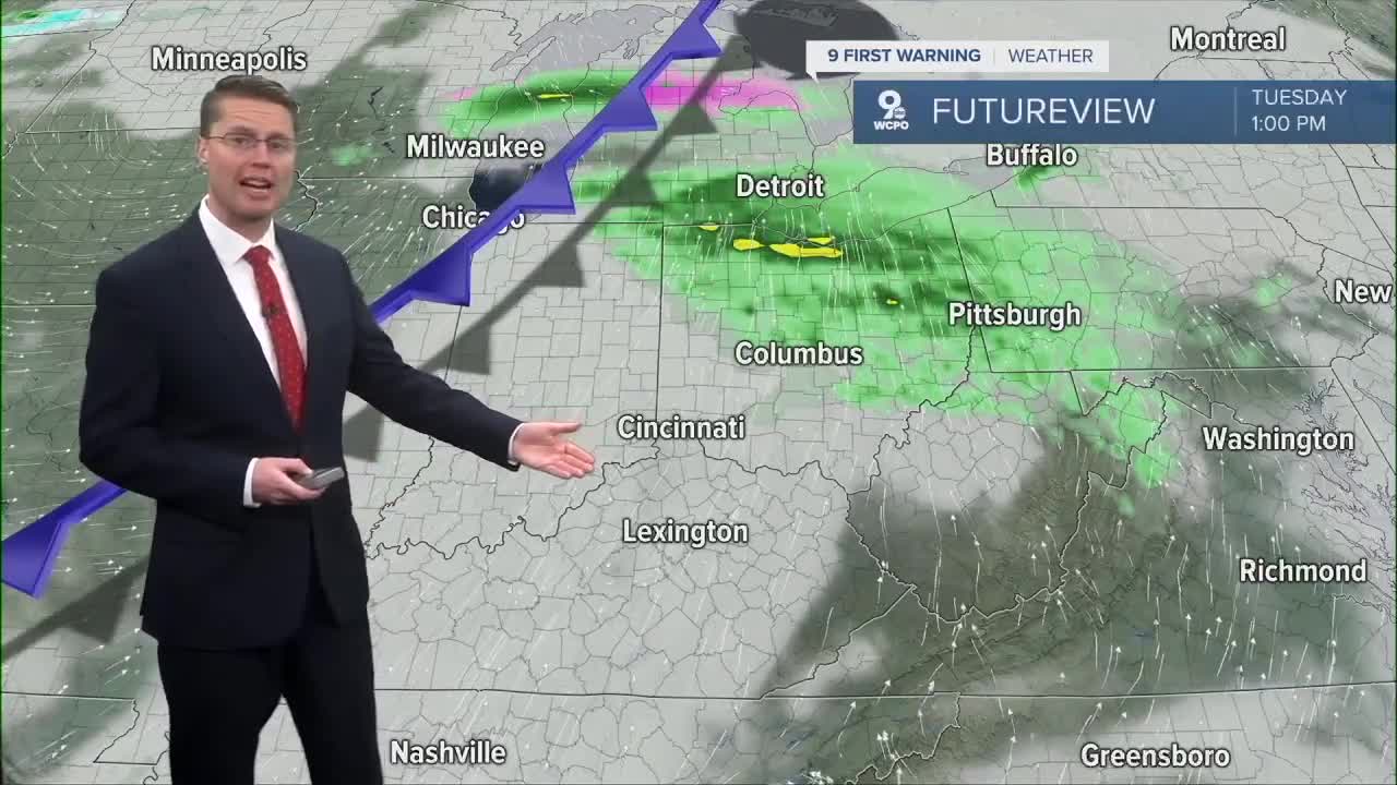
We warm into the mid 50s Tuesday with more clouds. A weak cold front arrives Tuesday night with some pockets of light rain.

The mid 50s and clouds stay with us Wednesday. A few sprinkles are possible, but most of us will be dry.
Rain looks more likely Thursday and Friday, but we should still be able to warm well into the 50s both days.
Some of the rain could continue into the weekend as we start to cool back off.
OVERNIGHT
Mostly cloudy
Dry
Low: 25
SATURDAY
Mostly cloudy
Chilly
High: 35
SATURDAY NIGHT
Few clouds
Colder
Low: 23
SUNDAY
Mostly sunny
Nice
High: 36
9 First Warning Weather 24/7 Livestream
==========
- Interactive Radar: Track weather to your doorstep
- Sign up for severe weather email alerts
- Check latest school closings and delays
- WCPO traffic updates
- Metro bus detours and updates (or call the hotline at 513-632-7538)
- Latest power outages from Duke Energy
- Flight cancellations and delays from CVG, other U.S. airports
