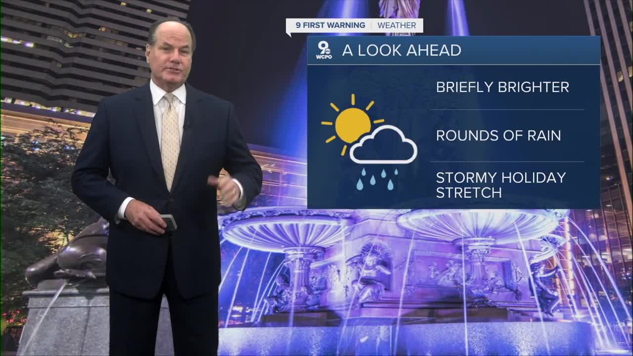


We’re heading into a pretty active stretch of weather across the Tri-State, so keep the rain gear nearby over the next several days.
Tonight, showers and rain will continue, as cooler northeast winds keep temperatures cool dropping them into the low 50s by daybreak.
Tomorrow, things improve quite a bit with clouds gradually giving way to late day sunshine, and afternoon temperatures climbing near 70 degrees. The break doesn’t last too long, though, because another system starts moving in late tomorrow night, with scattered showers into early Friday morning.

Friday looks like one of the wetter days of the stretch, with showers becoming widespread and thunderstorms possible during the afternoon and evening as warmer, more humid air pushes northward. Rain chances stay very high through Friday night, and some areas could pick up moderate rainfall at times. In fact, minor flooding could cause flood advisories from the National Weather Service.

Heading into the holiday weekend, temperatures continue warming near 80 degrees, and the atmosphere stays unsettled. Saturday brings another chance for showers and thunderstorms, especially later in the day, while Sunday and Memorial Day both continue the trend of warm, mostly cloudy conditions with periodic showers and storms possible.
The main reason behind this extended wet pattern is a series of weather disturbances moving through the Tri-State while moisture continues streaming into the region. So while there will likely be some dry breaks mixed in, you’ll want to stay weather-aware and flexible with outdoor plans.
TONIGHT
More rain and showers
Cooler
Low: 51
THURSDAY
Mostly cloudy
Some sunshine later
High: 68
THURSDAY NIGHT
Mostly cloudy
Slight chance
Low: 55
9 First Warning Weather 24/7 Livestream
==========
- Interactive Radar: Track weather to your doorstep
- Sign up for severe weather email alerts
- Check latest school closings and delays
- WCPO traffic updates
- Metro bus detours and updates (or call the hotline at 513-632-7538)
- Latest power outages from Duke Energy
- Flight cancellations and delays from CVG, other U.S. airports
